


Distance Calculator


Distance from Houthulst to London
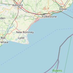
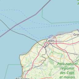
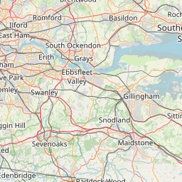
The shortest distance (air line) between Houthulst and London is 138.05mi (222.17 km)
The shortest route between Houthulst and London is 163.31 mi (262.81 km) according to the route planner. The driving time is approx. 3 h 35 m
How far is it between Houthulst and London.
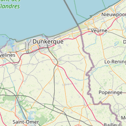
Houthulst is located in Arr. Diksmuide, Belgiumcountry within 50° 58' 41.88" N 2° 57' 2.16" E (50.9783, 2.9506) coordinates. The local time in Houthulst is 17:28 (18.08.2025)
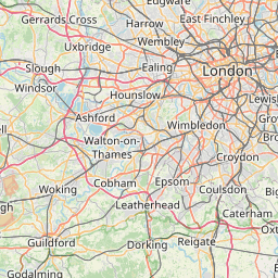
London is located in Westminster, United Kingdomcountry within 51° 30' 25.92" N -1° 52' 21" W (51.5072, -0.1275) coordinates. The local time in London is 16:28 (18.08.2025)
The calculated flying distance from Houthulst to London is 138.05miles which is equal to 222.17 km.
If you want to go by car, the driving driving distance between Houthulst and London is 163.31 miles (262.81 km). If you ride your car with an average speef of 112 kilometers/hour (70 miles/h), travel time will be 2 hours 21 minutes.Please check the avg.speed travel time on the right for various options
Estimated Travel Time Between Houthulst and London
| Average speed | Travel Time |
|---|---|
| 30 mph (48 km/h) | 5 hours 27 minutes |
| 40 mph (64 km/h) | 4 hours 5 minutes |
| 50 mph (80 km/h) | 3 hours 16 minutes |
| 60 mph (67 km/h) | 2 hours 43 minutes |
| 70 mph (112 km/h) | 2 hours 20 minutes |
| 75 mph (120 km/h) | 2 hours 11 minutes |
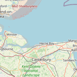
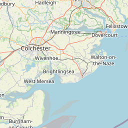
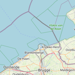
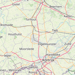
Houthulst, Arr. Diksmuide, Belgium
Related Distances from Houthulst
| Cities | Distance |
|---|---|
| Houthulst to Bruges | 19.87 mi (31.98 km) |
| Houthulst to Gent | 34.07 mi (54.84 km) |
| Houthulst to Koekelberg | 60.71 mi (97.71 km) |
| Houthulst to Jette | 60.71 mi (97.71 km) |
| Houthulst to Forest | 60.96 mi (98.11 km) |
| Houthulst to Moortebeek | 61.06 mi (98.27 km) |
| Houthulst to Anderlecht | 61.07 mi (98.28 km) |
| Houthulst to Laeken | 61.59 mi (99.11 km) |
| Houthulst to Brussels | 61.74 mi (99.37 km) |
| Houthulst to Hoboken | 62.84 mi (101.13 km) |
| Houthulst to Sint-Joost-ten-Node | 63.04 mi (101.45 km) |
| Houthulst to Etterbeek | 63.22 mi (101.74 km) |
| Houthulst to Wilrijk | 63.55 mi (102.27 km) |
| Houthulst to Evere | 63.60 mi (102.35 km) |
| Houthulst to Vilvoorde | 64.25 mi (103.39 km) |
| Houthulst to Antwerp | 65.04 mi (104.67 km) |
| Houthulst to Berchem | 65.19 mi (104.92 km) |
| Houthulst to Mechelen | 66.61 mi (107.20 km) |
| Houthulst to Borgerhout | 66.64 mi (107.24 km) |
| Houthulst to Merksem | 67.20 mi (108.15 km) |
| Houthulst to Deurne | 67.77 mi (109.06 km) |
| Houthulst to Charleroi | 76.21 mi (122.65 km) |
| Houthulst to Leuven | 76.46 mi (123.05 km) |
| Houthulst to Namur | 90.96 mi (146.38 km) |
| Houthulst to Liege | 116.75 mi (187.89 km) |
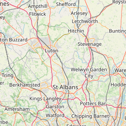
London, Westminster, United Kingdom
Related Distances to London
| Cities | Distance |
|---|---|
| Reading to London | 36.57 mi (58.85 km) |
| Worthing to London | 49.00 mi (78.86 km) |
| Portsmouth to London | 63.86 mi (102.77 km) |
| Ipswich to London | 66.81 mi (107.52 km) |
| Southampton to London | 69.28 mi (111.50 km) |
| Coventry to London | 85.69 mi (137.90 km) |
| Leicester to London | 88.80 mi (142.90 km) |
| Birmingham to London | 101.09 mi (162.69 km) |
| Bristol to London | 106.34 mi (171.14 km) |
| Nottingham to London | 108.88 mi (175.23 km) |
| Caerdydd to London | 131.28 mi (211.27 km) |
| Stoke-on-Trent to London | 134.89 mi (217.09 km) |
| Sheffield to London | 141.26 mi (227.34 km) |
| Kingston upon Hull to London | 154.81 mi (249.15 km) |
| Stockport to London | 156.51 mi (251.88 km) |
| Manchester to London | 162.79 mi (261.98 km) |
| Leeds to London | 169.27 mi (272.42 km) |
| Bradford to London | 172.39 mi (277.43 km) |
| Bolton to London | 172.68 mi (277.90 km) |
| Liverpool to London | 178.25 mi (286.86 km) |
| Sunderland to London | 240.48 mi (387.02 km) |
| Newcastle to London | 247.64 mi (398.53 km) |
| Belfast to London | 321.73 mi (517.78 km) |
| Edinburgh to London | 331.63 mi (533.70 km) |
| Glasgow to London | 344.75 mi (554.83 km) |
 Connectez-vous avec Google