


Distance Calculator
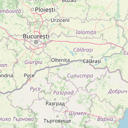


Distance from Cluj-Napoca to Bucharest
The shortest distance (air line) between Cluj-Napoca and Bucharest is 202.11mi (325.27 km)
The shortest route between Cluj-Napoca and Bucharest is 274.25 mi (441.37 km) according to the route planner. The driving time is approx. 6 h 39 m
How far is it between Cluj-Napoca and Bucharest.
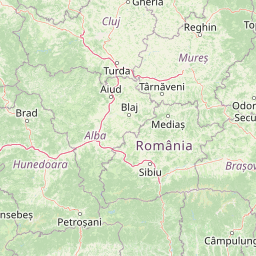
Cluj-Napoca is located in Cluj, Romaniacountry within 46° 46' 0.12" N 23° 34' 59.88" E (46.7667, 23.5833) coordinates. The local time in Cluj-Napoca is 20:22 (05.06.2025)
Bucharest is located in Bucuresti, Romaniacountry within 44° 25' 57" N 26° 6' 14.04" E (44.4325, 26.1039) coordinates. The local time in Bucharest is 20:22 (05.06.2025)
The calculated flying distance from Cluj-Napoca to Bucharest is 202.11miles which is equal to 325.27 km.
If you want to go by car, the driving driving distance between Cluj-Napoca and Bucharest is 274.25 miles (441.37 km). If you ride your car with an average speef of 112 kilometers/hour (70 miles/h), travel time will be 3 hours 56 minutes.Please check the avg.speed travel time on the right for various options
Estimated Travel Time Between Cluj-Napoca and Bucharest
| Average speed | Travel Time |
|---|---|
| 30 mph (48 km/h) | 9 hours 9 minutes |
| 40 mph (64 km/h) | 6 hours 51 minutes |
| 50 mph (80 km/h) | 5 hours 29 minutes |
| 60 mph (67 km/h) | 4 hours 34 minutes |
| 70 mph (112 km/h) | 3 hours 55 minutes |
| 75 mph (120 km/h) | 3 hours 39 minutes |
Related Distances from Cluj-Napoca
Related Distances to Bucharest
| Cities | Distance |
|---|---|
| Ploiesti to Bucharest | 35.37 mi (56.92 km) |
| Giurgiu to Bucharest | 37.30 mi (60.02 km) |
| Pitesti to Bucharest | 67.58 mi (108.76 km) |
| Slatina to Bucharest | 85.83 mi (138.14 km) |
| Brasov to Bucharest | 88.53 mi (142.47 km) |
| Ramnicu Valcea to Bucharest | 96.66 mi (155.57 km) |
| Focsani to Bucharest | 102.10 mi (164.32 km) |
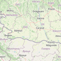
| Craiova to Bucharest | 113.15 mi (182.09 km) |
| Sibiu to Bucharest | 133.76 mi (215.26 km) |
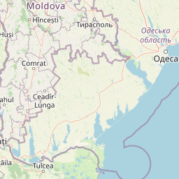
| Tulcea to Bucharest | 142.13 mi (228.74 km) |
| Targu Jiu to Bucharest | 144.95 mi (233.27 km) |
| Targu-Mures to Bucharest | 163.98 mi (263.89 km) |
| Alba Iulia to Bucharest | 167.15 mi (269.00 km) |
| Vaslui to Bucharest | 171.50 mi (276.00 km) |
| Hunedoara to Bucharest | 180.65 mi (290.73 km) |
| Iasi to Bucharest | 201.70 mi (324.61 km) |
| Cluj-Napoca to Bucharest | 202.11 mi (325.27 km) |
| Resita to Bucharest | 214.91 mi (345.86 km) |
| Suceava to Bucharest | 222.52 mi (358.12 km) |
| Botosani to Bucharest | 230.72 mi (371.30 km) |
| Baia Mare to Bucharest | 254.02 mi (408.81 km) |
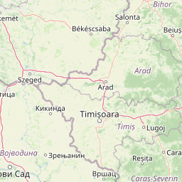
| Timisoara to Bucharest | 254.74 mi (409.97 km) |
| Arad to Bucharest | 262.07 mi (421.76 km) |
| Oradea to Bucharest | 271.83 mi (437.46 km) |
| Satu Mare to Bucharest | 278.36 mi (447.97 km) |
 Connectez-vous avec Google