


Distance Calculator
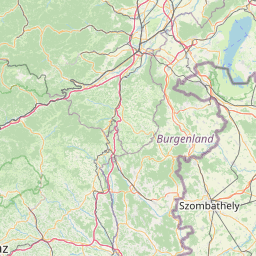


Distance from Szombathely to Eger
The shortest distance (air line) between Szombathely and Eger is 180.84mi (291.04 km)
The shortest route between Szombathely and Eger is 219.13 mi (352.65 km) according to the route planner. The driving time is approx. 3 h 58 m
How far is it between Szombathely and Eger.
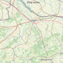
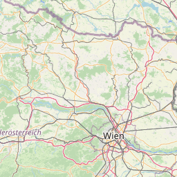
Szombathely is located in Vas, Hungarycountry within 47° 14' 6.36" N 16° 37' 18.84" E (47.2351, 16.6219) coordinates. The local time in Szombathely is 20:50 (22.06.2025)
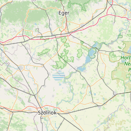
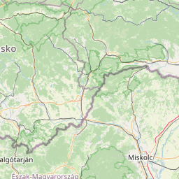
Eger is located in Heves, Hungarycountry within 47° 53' 56.4" N 20° 22' 28.92" E (47.8990, 20.3747) coordinates. The local time in Eger is 20:50 (22.06.2025)
The calculated flying distance from Szombathely to Eger is 180.84miles which is equal to 291.04 km.
If you want to go by car, the driving driving distance between Szombathely and Eger is 219.13 miles (352.65 km). If you ride your car with an average speef of 112 kilometers/hour (70 miles/h), travel time will be 3 hours 9 minutes.Please check the avg.speed travel time on the right for various options
Estimated Travel Time Between Szombathely and Eger
| Average speed | Travel Time |
|---|---|
| 30 mph (48 km/h) | 7 hours 18 minutes |
| 40 mph (64 km/h) | 5 hours 29 minutes |
| 50 mph (80 km/h) | 4 hours 23 minutes |
| 60 mph (67 km/h) | 3 hours 39 minutes |
| 70 mph (112 km/h) | 3 hours 8 minutes |
| 75 mph (120 km/h) | 2 hours 55 minutes |
Related Distances from Szombathely
Related Distances to Eger
| Cities | Distance |
|---|---|
| Miskolc to Eger | 18.56 mi (29.87 km) |
| Salgotarjan to Eger | 29.80 mi (47.96 km) |
| Szolnok to Eger | 50.73 mi (81.64 km) |
| Cegled to Eger | 56.75 mi (91.33 km) |
| Dunakeszi to Eger | 60.22 mi (96.91 km) |
| Nyiregyhaza to Eger | 62.72 mi (100.95 km) |
| Debrecen to Eger | 64.07 mi (103.12 km) |
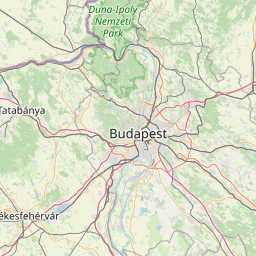
| Budapest to Eger | 67.64 mi (108.86 km) |
| Szigetszentmiklos to Eger | 72.65 mi (116.91 km) |
| Szigethalom to Eger | 75.37 mi (121.29 km) |
| Kecskemet to Eger | 75.71 mi (121.85 km) |
| Erd to Eger | 76.60 mi (123.28 km) |
| Bekescsaba to Eger | 90.73 mi (146.02 km) |
| Dunaujvaros to Eger | 93.24 mi (150.06 km) |
| Tatabanya to Eger | 94.49 mi (152.06 km) |
| Hodmezovasarhely to Eger | 101.50 mi (163.36 km) |
| Szekesfehervar to Eger | 103.76 mi (166.98 km) |
| Szeged to Eger | 114.10 mi (183.63 km) |
| Veszprem to Eger | 127.66 mi (205.45 km) |
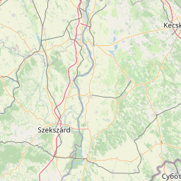
| Szekszard to Eger | 132.41 mi (213.10 km) |
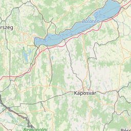
| Kaposvar to Eger | 161.54 mi (259.97 km) |
| Pecs to Eger | 161.68 mi (260.20 km) |
| Zalaegerszeg to Eger | 180.39 mi (290.31 km) |
| Szombathely to Eger | 180.84 mi (291.04 km) |
| Nagykanizsa to Eger | 187.55 mi (301.84 km) |
 Connectez-vous avec Google