


Distance Calculator

Distance from Bischofshofen to Klosterneuburg
The shortest distance (air line) between Bischofshofen and Klosterneuburg is 156.10mi (251.22 km)
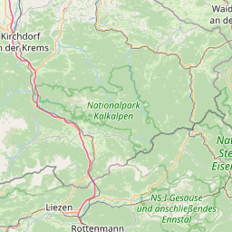
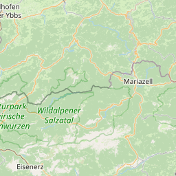
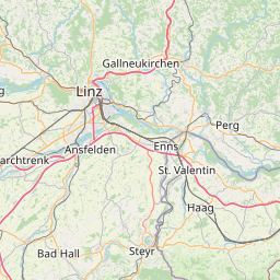
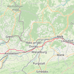
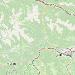
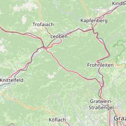
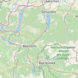
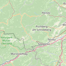
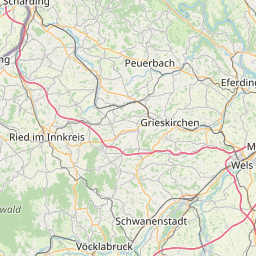
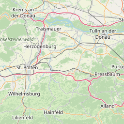
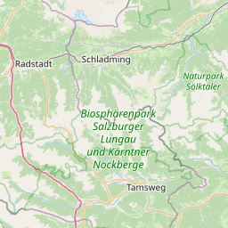
The shortest route between Bischofshofen and Klosterneuburg is 218.60 mi (351.80 km) according to the route planner. The driving time is approx. 3 h 57 m
How far is it between Bischofshofen and Klosterneuburg.
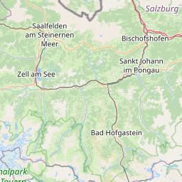
Bischofshofen is located in Pinzgau-Pongau, Austriacountry within 47° 25' 1.92" N 13° 13' 9.84" E (47.4172, 13.2194) coordinates. The local time in Bischofshofen is 20:08 (20.05.2025)
Klosterneuburg is located in Wiener Umland/Nordteil, Austriacountry within 48° 18' 15.12" N 16° 19' 0.12" E (48.3042, 16.3167) coordinates. The local time in Klosterneuburg is 20:08 (20.05.2025)
The calculated flying distance from Bischofshofen to Klosterneuburg is 156.10miles which is equal to 251.22 km.
If you want to go by car, the driving driving distance between Bischofshofen and Klosterneuburg is 218.60 miles (351.80 km). If you ride your car with an average speef of 112 kilometers/hour (70 miles/h), travel time will be 3 hours 8 minutes.Please check the avg.speed travel time on the right for various options
Estimated Travel Time Between Bischofshofen and Klosterneuburg
| Average speed | Travel Time |
|---|---|
| 30 mph (48 km/h) | 7 hours 17 minutes |
| 40 mph (64 km/h) | 5 hours 28 minutes |
| 50 mph (80 km/h) | 4 hours 22 minutes |
| 60 mph (67 km/h) | 3 hours 39 minutes |
| 70 mph (112 km/h) | 3 hours 7 minutes |
| 75 mph (120 km/h) | 2 hours 55 minutes |
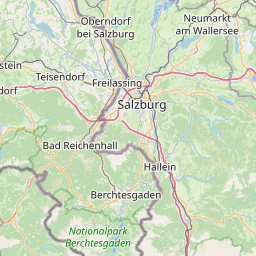
Bischofshofen, Pinzgau-Pongau, Austria
Related Distances from Bischofshofen
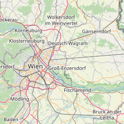
Klosterneuburg, Wiener Umland/Nordteil, Austria
 Accedi con Google