


Distance Calculator

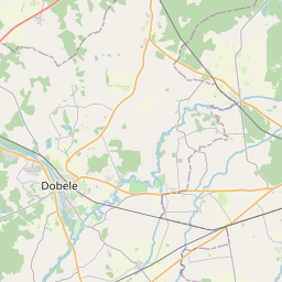
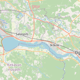
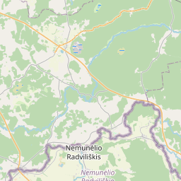

Distance from Dobele to Ogre
The shortest distance (air line) between Dobele and Ogre is 52.65mi (84.73 km)
The shortest route between Dobele and Ogre is 62.26 mi (100.19 km) according to the route planner. The driving time is approx. 1 h 39 m
How far is it between Dobele and Ogre.
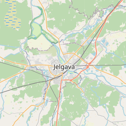
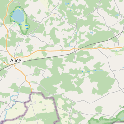
Dobele is located in Zemgale, Latviacountry within 56° 37' 0.12" N 23° 16' 0.12" E (56.6167, 23.2667) coordinates. The local time in Dobele is 11:19 (22.07.2025)
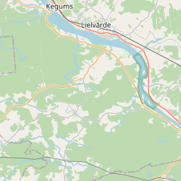
Ogre is located in Pieriga, Latviacountry within 56° 49' 6.96" N 24° 36' 20.16" E (56.8186, 24.6056) coordinates. The local time in Ogre is 11:19 (22.07.2025)
The calculated flying distance from Dobele to Ogre is 52.65miles which is equal to 84.73 km.
If you want to go by car, the driving driving distance between Dobele and Ogre is 62.26 miles (100.19 km). If you ride your car with an average speef of 112 kilometers/hour (70 miles/h), travel time will be 0 hours 54 minutes.Please check the avg.speed travel time on the right for various options
Estimated Travel Time Between Dobele and Ogre
| Average speed | Travel Time |
|---|---|
| 30 mph (48 km/h) | 2 hours 5 minutes |
| 40 mph (64 km/h) | 1 hours 33 minutes |
| 50 mph (80 km/h) | 1 hours 15 minutes |
| 60 mph (67 km/h) | 1 hours 2 minutes |
| 70 mph (112 km/h) | 0 hours 53 minutes |
| 75 mph (120 km/h) | 0 hours 50 minutes |
Related Distances from Dobele
| Cities | Distance |
|---|---|
| Dobele to Jelgava | 17.13 mi (27.57 km) |
| Dobele to Tukums | 24.58 mi (39.56 km) |
| Dobele to Olaine | 27.78 mi (44.71 km) |
| Dobele to Saldus | 29.33 mi (47.21 km) |
| Dobele to Jurmala | 30.86 mi (49.67 km) |
| Dobele to Marupe | 36.07 mi (58.04 km) |
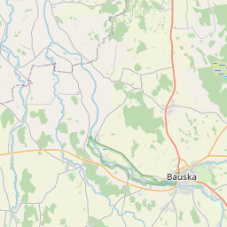
| Dobele to Bauska | 38.14 mi (61.38 km) |
| Dobele to Riga | 39.20 mi (63.09 km) |
| Dobele to Salaspils | 44.53 mi (71.67 km) |
| Dobele to Talsi | 50.38 mi (81.08 km) |
| Dobele to Adazi | 50.91 mi (81.92 km) |
| Dobele to Ogre | 52.65 mi (84.73 km) |
| Dobele to Kuldiga | 54.82 mi (88.22 km) |
| Dobele to Sigulda | 70.75 mi (113.86 km) |
| Dobele to Aizkraukle | 75.56 mi (121.61 km) |
| Dobele to Ventspils | 83.18 mi (133.86 km) |
| Dobele to Liepaja | 86.07 mi (138.51 km) |
| Dobele to Cesis | 89.51 mi (144.06 km) |
| Dobele to Jekabpils | 99.76 mi (160.56 km) |
| Dobele to Valmiera | 102.82 mi (165.48 km) |
| Dobele to Livani | 112.57 mi (181.17 km) |
| Dobele to Daugavpils | 135.54 mi (218.13 km) |
| Dobele to Rezekne | 155.32 mi (249.96 km) |
| Dobele to Kraslava | 158.02 mi (254.31 km) |
| Dobele to Ludza | 169.36 mi (272.56 km) |
Related Distances to Ogre
| Cities | Distance |
|---|---|
| Salaspils to Ogre | 10.21 mi (16.44 km) |
| Adazi to Ogre | 19.98 mi (32.15 km) |
| Riga to Ogre | 20.88 mi (33.61 km) |
| Marupe to Ogre | 21.55 mi (34.69 km) |
| Sigulda to Ogre | 24.92 mi (40.10 km) |
| Olaine to Ogre | 25.55 mi (41.12 km) |
| Aizkraukle to Ogre | 28.70 mi (46.19 km) |
| Bauska to Ogre | 32.40 mi (52.14 km) |
| Jurmala to Ogre | 33.17 mi (53.39 km) |
| Jelgava to Ogre | 35.78 mi (57.59 km) |
| Cesis to Ogre | 42.44 mi (68.30 km) |
| Dobele to Ogre | 52.65 mi (84.73 km) |
| Jekabpils to Ogre | 53.12 mi (85.49 km) |
| Tukums to Ogre | 55.88 mi (89.93 km) |
| Valmiera to Ogre | 58.64 mi (94.37 km) |
| Livani to Ogre | 67.65 mi (108.88 km) |
| Saldus to Ogre | 80.47 mi (129.50 km) |
| Talsi to Ogre | 81.41 mi (131.01 km) |
| Daugavpils to Ogre | 98.54 mi (158.59 km) |
| Kuldiga to Ogre | 100.11 mi (161.11 km) |
| Rezekne to Ogre | 106.04 mi (170.66 km) |
| Kraslava to Ogre | 117.42 mi (188.97 km) |
| Ludza to Ogre | 119.50 mi (192.32 km) |
| Ventspils to Ogre | 120.44 mi (193.83 km) |
| Liepaja to Ogre | 138.00 mi (222.08 km) |
 Accedi con Google