


Distance Calculator


Distance from Mioveni to Cluj-Napoca
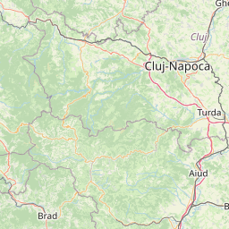
The shortest distance (air line) between Mioveni and Cluj-Napoca is 141.07mi (227.02 km)
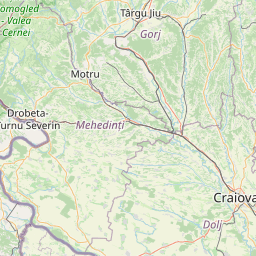
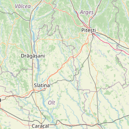
The shortest route between Mioveni and Cluj-Napoca is 209.00 mi (336.35 km) according to the route planner. The driving time is approx. 5 h 4 m
How far is it between Mioveni and Cluj-Napoca.
Mioveni is located in Arges, Romaniacountry within 44° 57' 24.84" N 24° 56' 26.16" E (44.9569, 24.9406) coordinates. The local time in Mioveni is 05:22 (11.07.2025)
Cluj-Napoca is located in Cluj, Romaniacountry within 46° 46' 0.12" N 23° 34' 59.88" E (46.7667, 23.5833) coordinates. The local time in Cluj-Napoca is 05:22 (11.07.2025)
The calculated flying distance from Mioveni to Cluj-Napoca is 141.07miles which is equal to 227.02 km.
If you want to go by car, the driving driving distance between Mioveni and Cluj-Napoca is 209.00 miles (336.35 km). If you ride your car with an average speef of 112 kilometers/hour (70 miles/h), travel time will be 3 hours 0 minutes.Please check the avg.speed travel time on the right for various options
Estimated Travel Time Between Mioveni and Cluj-Napoca
| Average speed | Travel Time |
|---|---|
| 30 mph (48 km/h) | 6 hours 58 minutes |
| 40 mph (64 km/h) | 5 hours 13 minutes |
| 50 mph (80 km/h) | 4 hours 11 minutes |
| 60 mph (67 km/h) | 3 hours 29 minutes |
| 70 mph (112 km/h) | 2 hours 59 minutes |
| 75 mph (120 km/h) | 2 hours 47 minutes |
Related Distances from Mioveni
| Cities | Distance |
|---|---|
| Mioveni to Pitesti | 7.55 mi (12.15 km) |
| Mioveni to Ramnicu Valcea | 29.42 mi (47.34 km) |
| Mioveni to Slatina | 46.13 mi (74.25 km) |
| Mioveni to Ploiesti | 52.92 mi (85.16 km) |
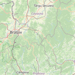
| Mioveni to Brasov | 59.03 mi (95.00 km) |
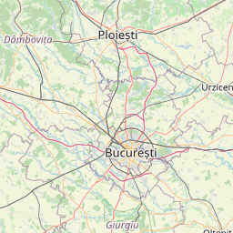
| Mioveni to Bucharest | 67.66 mi (108.88 km) |
| Mioveni to Sibiu | 69.29 mi (111.51 km) |
| Mioveni to Craiova | 70.06 mi (112.75 km) |
| Mioveni to Targu Jiu | 81.57 mi (131.27 km) |
| Mioveni to Giurgiu | 89.01 mi (143.26 km) |
| Mioveni to Alba Iulia | 101.42 mi (163.21 km) |
| Mioveni to Targu-Mures | 111.27 mi (179.07 km) |
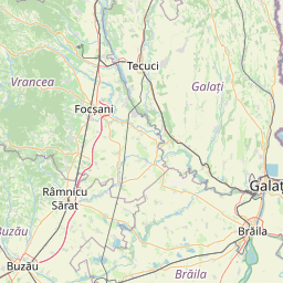
| Mioveni to Focsani | 120.27 mi (193.55 km) |
| Mioveni to Cluj-Napoca | 141.07 mi (227.02 km) |
| Mioveni to Resita | 150.62 mi (242.40 km) |
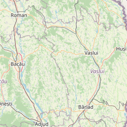
| Mioveni to Vaslui | 177.58 mi (285.78 km) |
| Mioveni to Timisoara | 188.47 mi (303.32 km) |
| Mioveni to Tulcea | 188.98 mi (304.14 km) |
| Mioveni to Arad | 194.61 mi (313.19 km) |
| Mioveni to Suceava | 196.46 mi (316.17 km) |
| Mioveni to Baia Mare | 198.11 mi (318.83 km) |
| Mioveni to Iasi | 198.32 mi (319.16 km) |
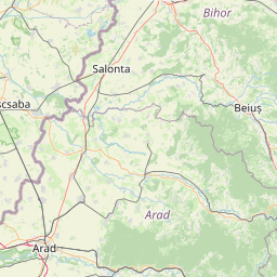
| Mioveni to Oradea | 205.77 mi (331.15 km) |
| Mioveni to Botosani | 209.75 mi (337.57 km) |
| Mioveni to Satu Mare | 218.78 mi (352.09 km) |
 Accedi con Google