


Distance Calculator

Distance from Mullingar to Finglas
The shortest distance (air line) between Mullingar and Finglas is 46.23mi (74.40 km)
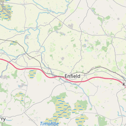
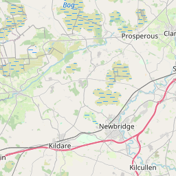
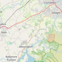
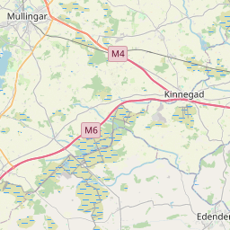
The shortest route between Mullingar and Finglas is 56.62 mi (91.13 km) according to the route planner. The driving time is approx. 1 h 7 m
How far is it between Mullingar and Finglas.
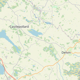
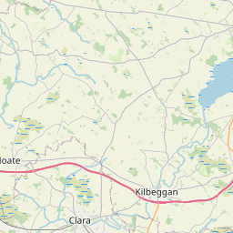
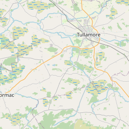
Mullingar is located in Midland, Irelandcountry within 53° 31' 20.64" N -8° 39' 43.92" W (53.5224, -7.3378) coordinates. The local time in Mullingar is 09:54 (22.07.2025)
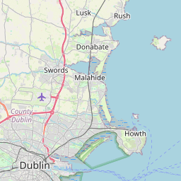
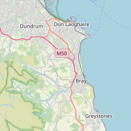
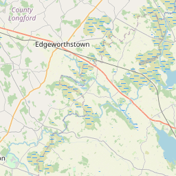
Finglas is located in Dublin, Irelandcountry within 53° 27' 34.92" N -7° 46' 54.84" W (53.4597, -6.2181) coordinates. The local time in Finglas is 09:54 (22.07.2025)
The calculated flying distance from Mullingar to Finglas is 46.23miles which is equal to 74.40 km.
If you want to go by car, the driving driving distance between Mullingar and Finglas is 56.62 miles (91.13 km). If you ride your car with an average speef of 112 kilometers/hour (70 miles/h), travel time will be 0 hours 49 minutes.Please check the avg.speed travel time on the right for various options
Estimated Travel Time Between Mullingar and Finglas
| Average speed | Travel Time |
|---|---|
| 30 mph (48 km/h) | 1 hours 53 minutes |
| 40 mph (64 km/h) | 1 hours 25 minutes |
| 50 mph (80 km/h) | 1 hours 8 minutes |
| 60 mph (67 km/h) | 0 hours 57 minutes |
| 70 mph (112 km/h) | 0 hours 49 minutes |
| 75 mph (120 km/h) | 0 hours 45 minutes |
Related Distances from Mullingar
| Cities | Distance |
|---|---|
| Mullingar to Navan | 28.39 mi (45.69 km) |
| Mullingar to Port Laoise | 34.00 mi (54.72 km) |
| Mullingar to Naas | 34.84 mi (56.07 km) |
| Mullingar to Celbridge | 35.27 mi (56.77 km) |
| Mullingar to Clondalkin | 41.27 mi (66.41 km) |
| Mullingar to Drogheda | 42.52 mi (68.42 km) |
| Mullingar to Ashtown | 42.59 mi (68.54 km) |
| Mullingar to Tallaght | 43.50 mi (70.01 km) |
| Mullingar to Dublin | 45.92 mi (73.90 km) |
| Mullingar to Rathfarnham | 46.01 mi (74.05 km) |
| Mullingar to Finglas | 46.23 mi (74.40 km) |
| Mullingar to Swords | 46.23 mi (74.40 km) |
| Mullingar to Blackrock | 50.15 mi (80.71 km) |
| Mullingar to Carlow | 50.67 mi (81.55 km) |
| Mullingar to Dun Dealgan | 50.81 mi (81.77 km) |
| Mullingar to Greystones | 58.40 mi (93.99 km) |
| Mullingar to Kilkenny | 60.53 mi (97.42 km) |
| Mullingar to Galway | 72.59 mi (116.81 km) |
| Mullingar to Limerick | 79.71 mi (128.28 km) |
| Mullingar to Ennis | 82.51 mi (132.79 km) |
| Mullingar to Waterford | 87.88 mi (141.43 km) |
| Mullingar to Wexford | 89.91 mi (144.70 km) |
| Mullingar to Cork | 121.88 mi (196.14 km) |
| Mullingar to Douglas | 122.66 mi (197.41 km) |
| Mullingar to Tralee | 131.07 mi (210.93 km) |
Related Distances to Finglas
| Cities | Distance |
|---|---|
| Swords to Finglas | 0.00 mi (0.00 km) |
| Ashtown to Finglas | 7.49 mi (12.06 km) |
| Dublin to Finglas | 7.78 mi (12.51 km) |
| Blackrock to Finglas | 11.06 mi (17.79 km) |
| Rathfarnham to Finglas | 11.46 mi (18.44 km) |
| Clondalkin to Finglas | 12.07 mi (19.43 km) |
| Tallaght to Finglas | 13.14 mi (21.15 km) |
| Celbridge to Finglas | 15.66 mi (25.20 km) |
| Drogheda to Finglas | 18.48 mi (29.74 km) |
| Greystones to Finglas | 22.63 mi (36.42 km) |
| Navan to Finglas | 23.23 mi (37.38 km) |
| Naas to Finglas | 25.04 mi (40.29 km) |
| Dun Dealgan to Finglas | 38.71 mi (62.30 km) |
| Mullingar to Finglas | 46.23 mi (74.40 km) |
| Carlow to Finglas | 52.57 mi (84.61 km) |
| Port Laoise to Finglas | 53.68 mi (86.39 km) |
| Kilkenny to Finglas | 70.75 mi (113.86 km) |
| Wexford to Finglas | 78.40 mi (126.18 km) |
| Waterford to Finglas | 91.40 mi (147.09 km) |
| Limerick to Finglas | 113.97 mi (183.41 km) |
| Galway to Finglas | 117.42 mi (188.97 km) |
| Ennis to Finglas | 122.05 mi (196.42 km) |
| Cork to Finglas | 143.35 mi (230.70 km) |
| Douglas to Finglas | 143.52 mi (230.97 km) |
| Tralee to Finglas | 166.81 mi (268.45 km) |
 Accedi con Google