


Distance Calculator
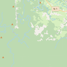


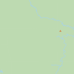

Distance from Roura to Cayenne
The shortest distance (air line) between Roura and Cayenne is 14.03mi (22.57 km)
The shortest route between Roura and Cayenne is 17.26 mi (27.78 km) according to the route planner. The driving time is approx. 0 h 30 m
How far is it between Roura and Cayenne.
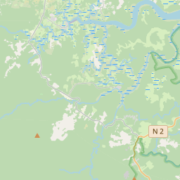
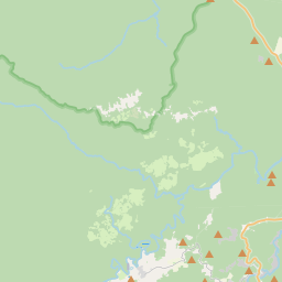
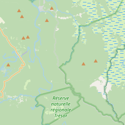
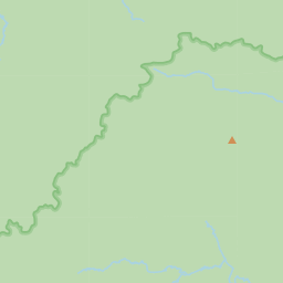
Roura is located in Guyane, French Guianacountry within 4° 43' 48" N -53° 40' 12" W (4.7300, -52.3300) coordinates. The local time in Roura is 08:26 (22.06.2025)
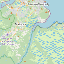
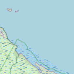
Cayenne is located in Guyane, French Guianacountry within 4° 55' 58.8" N -53° 40' 12" W (4.9330, -52.3300) coordinates. The local time in Cayenne is 08:26 (22.06.2025)
The calculated flying distance from Roura to Cayenne is 14.03miles which is equal to 22.57 km.
If you want to go by car, the driving driving distance between Roura and Cayenne is 17.26 miles (27.78 km). If you ride your car with an average speef of 112 kilometers/hour (70 miles/h), travel time will be 0 hours 15 minutes.Please check the avg.speed travel time on the right for various options
Estimated Travel Time Between Roura and Cayenne
| Average speed | Travel Time |
|---|---|
| 30 mph (48 km/h) | 0 hours 35 minutes |
| 40 mph (64 km/h) | 0 hours 26 minutes |
| 50 mph (80 km/h) | 0 hours 21 minutes |
| 60 mph (67 km/h) | 0 hours 17 minutes |
| 70 mph (112 km/h) | 0 hours 15 minutes |
| 75 mph (120 km/h) | 0 hours 14 minutes |
Related Distances from Roura
| Cities | Distance |
|---|---|
| Roura to Cayenne | 14.03 mi (22.57 km) |
| Roura to Kourou | 36.98 mi (59.52 km) |
| Roura to Sinnamary | 62.43 mi (100.46 km) |
| Roura to Saint-Georges | 67.00 mi (107.83 km) |
| Roura to Iracoubo | 80.25 mi (129.14 km) |
| Roura to Saint-Laurent-du-Maroni | 128.61 mi (206.97 km) |
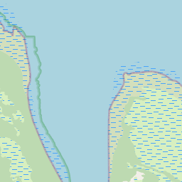
Cayenne, Guyane, French Guiana
Related Distances to Cayenne
| Cities | Distance |
|---|---|
| Roura to Cayenne | 14.03 mi (22.57 km) |
| Kourou to Cayenne | 27.03 mi (43.50 km) |
| Sinnamary to Cayenne | 53.23 mi (85.66 km) |
| Iracoubo to Cayenne | 71.98 mi (115.84 km) |
| Saint-Georges to Cayenne | 79.21 mi (127.48 km) |
| Saint-Laurent-du-Maroni to Cayenne | 123.47 mi (198.70 km) |
 Accedi con Google