


Distance Calculator

Distance from Svencionys to Sirvintos
The shortest distance (air line) between Svencionys and Sirvintos is 47.39mi (76.26 km)
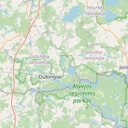
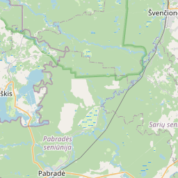
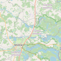
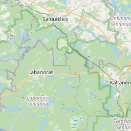
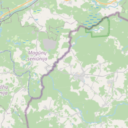
The shortest route between Svencionys and Sirvintos is 71.42 mi (114.94 km) according to the route planner. The driving time is approx. 1 h 43 m
How far is it between Svencionys and Sirvintos.
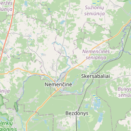
Svencionys is located in Vilniaus apskritis, Lithuaniacountry within 55° 7' 59.88" N 26° 9' 20.16" E (55.1333, 26.1556) coordinates. The local time in Svencionys is 04:26 (23.06.2025)
Sirvintos is located in Vilniaus apskritis, Lithuaniacountry within 55° 2' 9.96" N 24° 58' 9.84" E (55.0361, 24.9694) coordinates. The local time in Sirvintos is 04:26 (23.06.2025)
The calculated flying distance from Svencionys to Sirvintos is 47.39miles which is equal to 76.26 km.
If you want to go by car, the driving driving distance between Svencionys and Sirvintos is 71.42 miles (114.94 km). If you ride your car with an average speef of 112 kilometers/hour (70 miles/h), travel time will be 1 hours 2 minutes.Please check the avg.speed travel time on the right for various options
Estimated Travel Time Between Svencionys and Sirvintos
| Average speed | Travel Time |
|---|---|
| 30 mph (48 km/h) | 2 hours 23 minutes |
| 40 mph (64 km/h) | 1 hours 47 minutes |
| 50 mph (80 km/h) | 1 hours 26 minutes |
| 60 mph (67 km/h) | 1 hours 11 minutes |
| 70 mph (112 km/h) | 1 hours 1 minutes |
| 75 mph (120 km/h) | 0 hours 57 minutes |
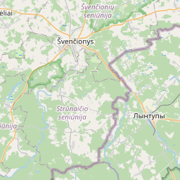
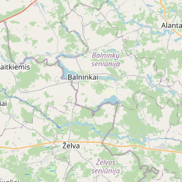
Svencionys, Vilniaus apskritis, Lithuania
Related Distances from Svencionys
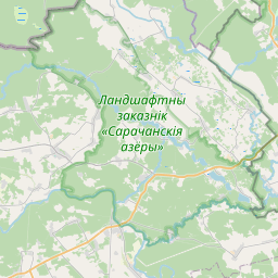
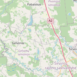
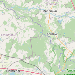
Sirvintos, Vilniaus apskritis, Lithuania
 Accedi con Google