


Distance Calculator


Distance from Topol'cany to Liptovsky Mikulas
The shortest distance (air line) between Topol'cany and Liptovsky Mikulas is 74.47mi (119.84 km)
The shortest route between Topol'cany and Liptovsky Mikulas is 105.01 mi (169.00 km) according to the route planner. The driving time is approx. 2 h 50 m
How far is it between Topol'cany and Liptovsky Mikulas.
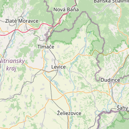
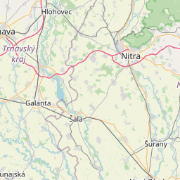
Topol'cany is located in Nitriansky kraj, Slovakiacountry within 48° 33' 15.12" N 18° 10' 36.84" E (48.5542, 18.1769) coordinates. The local time in Topol'cany is 01:20 (19.07.2025)
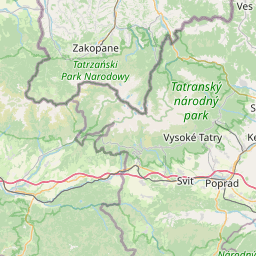
Liptovsky Mikulas is located in Žilinsky kraj, Slovakiacountry within 49° 5' 3.12" N 19° 36' 7.92" E (49.0842, 19.6022) coordinates. The local time in Liptovsky Mikulas is 01:20 (19.07.2025)
The calculated flying distance from Topol'cany to Liptovsky Mikulas is 74.47miles which is equal to 119.84 km.
If you want to go by car, the driving driving distance between Topol'cany and Liptovsky Mikulas is 105.01 miles (169.00 km). If you ride your car with an average speef of 112 kilometers/hour (70 miles/h), travel time will be 1 hours 31 minutes.Please check the avg.speed travel time on the right for various options
Estimated Travel Time Between Topol'cany and Liptovsky Mikulas
| Average speed | Travel Time |
|---|---|
| 30 mph (48 km/h) | 3 hours 30 minutes |
| 40 mph (64 km/h) | 2 hours 38 minutes |
| 50 mph (80 km/h) | 2 hours 6 minutes |
| 60 mph (67 km/h) | 1 hours 45 minutes |
| 70 mph (112 km/h) | 1 hours 30 minutes |
| 75 mph (120 km/h) | 1 hours 24 minutes |
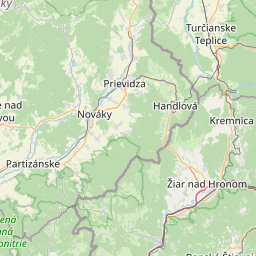
Topol'cany, Nitriansky kraj, Slovakia
Related Distances from Topol'cany
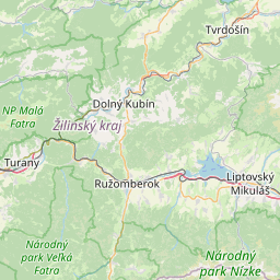
Liptovsky Mikulas, Žilinsky kraj, Slovakia
 Accedi con Google