


Distance Calculator
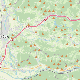

Distance from Vrhnika to Domzale
The shortest distance (air line) between Vrhnika and Domzale is 18.93mi (30.46 km)
The shortest route between Vrhnika and Domzale is 22.05 mi (35.48 km) according to the route planner. The driving time is approx. 0 h 29 m
How far is it between Vrhnika and Domzale.
Vrhnika is located in Osrednjeslovenska, Sloveniacountry within 45° 57' 44.64" N 14° 17' 37.32" E (45.9624, 14.2937) coordinates. The local time in Vrhnika is 07:32 (30.07.2025)
Domzale is located in Osrednjeslovenska, Sloveniacountry within 46° 8' 21.84" N 14° 35' 42" E (46.1394, 14.5950) coordinates. The local time in Domzale is 07:32 (30.07.2025)
The calculated flying distance from Vrhnika to Domzale is 18.93miles which is equal to 30.46 km.
If you want to go by car, the driving driving distance between Vrhnika and Domzale is 22.05 miles (35.48 km). If you ride your car with an average speef of 112 kilometers/hour (70 miles/h), travel time will be 0 hours 19 minutes.Please check the avg.speed travel time on the right for various options
Estimated Travel Time Between Vrhnika and Domzale
| Average speed | Travel Time |
|---|---|
| 30 mph (48 km/h) | 0 hours 44 minutes |
| 40 mph (64 km/h) | 0 hours 33 minutes |
| 50 mph (80 km/h) | 0 hours 26 minutes |
| 60 mph (67 km/h) | 0 hours 22 minutes |
| 70 mph (112 km/h) | 0 hours 19 minutes |
| 75 mph (120 km/h) | 0 hours 18 minutes |
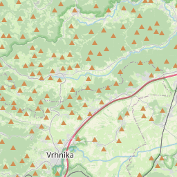
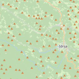
Vrhnika, Osrednjeslovenska, Slovenia
Related Distances from Vrhnika
| Cities | Distance |
|---|---|
| Vrhnika to Logatec | 4.41 mi (7.09 km) |
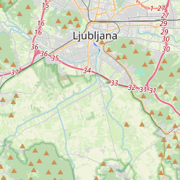
| Vrhnika to Ljubljana | 11.90 mi (19.16 km) |
| Vrhnika to Postojna | 13.45 mi (21.64 km) |
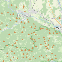
| Vrhnika to Skofja Loka | 14.16 mi (22.78 km) |
| Vrhnika to Grosuplje | 17.42 mi (28.03 km) |
| Vrhnika to Domzale | 18.93 mi (30.46 km) |
| Vrhnika to Kranj | 19.04 mi (30.64 km) |
| Vrhnika to Ajdovscina | 19.19 mi (30.89 km) |
| Vrhnika to Kamnik | 23.74 mi (38.20 km) |
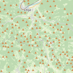
| Vrhnika to Litija | 26.11 mi (42.02 km) |
| Vrhnika to Nova Gorica | 31.24 mi (50.28 km) |
| Vrhnika to Jesenice | 34.61 mi (55.71 km) |
| Vrhnika to Kocevje | 35.06 mi (56.43 km) |
| Vrhnika to Trbovlje | 38.51 mi (61.97 km) |
| Vrhnika to Koper | 39.26 mi (63.19 km) |
| Vrhnika to Izola | 42.26 mi (68.01 km) |
| Vrhnika to Novo Mesto | 43.46 mi (69.95 km) |
| Vrhnika to Velenje | 48.03 mi (77.29 km) |
| Vrhnika to Celje | 50.33 mi (81.00 km) |
| Vrhnika to Ravne na Koroskem | 51.37 mi (82.68 km) |
| Vrhnika to Krsko | 57.15 mi (91.97 km) |
| Vrhnika to Slovenska Bistrica | 68.06 mi (109.53 km) |
| Vrhnika to Maribor | 76.56 mi (123.21 km) |
| Vrhnika to Ptuj | 81.71 mi (131.50 km) |
| Vrhnika to Murska Sobota | 101.77 mi (163.78 km) |
Domzale, Osrednjeslovenska, Slovenia
Related Distances to Domzale
| Cities | Distance |
|---|---|
| Kamnik to Domzale | 6.02 mi (9.68 km) |
| Ljubljana to Domzale | 7.42 mi (11.95 km) |
| Litija to Domzale | 11.75 mi (18.91 km) |
| Kranj to Domzale | 12.70 mi (20.44 km) |
| Grosuplje to Domzale | 13.07 mi (21.03 km) |
| Skofja Loka to Domzale | 14.11 mi (22.70 km) |
| Vrhnika to Domzale | 18.93 mi (30.46 km) |
| Trbovlje to Domzale | 21.79 mi (35.07 km) |
| Logatec to Domzale | 23.32 mi (37.53 km) |
| Velenje to Domzale | 29.21 mi (47.01 km) |
| Postojna to Domzale | 31.08 mi (50.02 km) |
| Jesenice to Domzale | 32.77 mi (52.73 km) |
| Celje to Domzale | 32.85 mi (52.87 km) |
| Ravne na Koroskem to Domzale | 33.02 mi (53.14 km) |
| Novo Mesto to Domzale | 36.11 mi (58.11 km) |
| Kocevje to Domzale | 36.58 mi (58.87 km) |
| Ajdovscina to Domzale | 37.25 mi (59.95 km) |
| Krsko to Domzale | 44.56 mi (71.72 km) |
| Nova Gorica to Domzale | 47.37 mi (76.23 km) |
| Slovenska Bistrica to Domzale | 49.92 mi (80.33 km) |
| Maribor to Domzale | 57.84 mi (93.08 km) |
| Koper to Domzale | 58.12 mi (93.54 km) |
| Izola to Domzale | 61.16 mi (98.43 km) |
| Ptuj to Domzale | 63.86 mi (102.77 km) |
| Murska Sobota to Domzale | 83.27 mi (134.02 km) |
 Accedi con Google