


Distance Calculator

Distance from Avelgem to Sint-Joost-ten-Node
The shortest distance (air line) between Avelgem and Sint-Joost-ten-Node is 41.32mi (66.50 km)
The shortest route between Avelgem and Sint-Joost-ten-Node is 56.43 mi (90.81 km) according to the route planner. The driving time is approx. 1 h 16 m
How far is it between Avelgem and Sint-Joost-ten-Node.
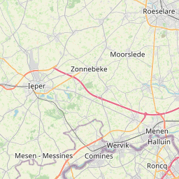
Avelgem is located in Arr. Kortrijk, Belgiumcountry within 50° 46' 31.08" N 3° 26' 39.12" E (50.7753, 3.4442) coordinates. The local time in Avelgem is 04:35 (11.08.2025)
Sint-Joost-ten-Node is located in Arr. de Bruxelles-Capitale/Arr. Brussel-Hoofdstad, Belgiumcountry within 50° 51' 0" N 4° 22' 59.88" E (50.8500, 4.3833) coordinates. The local time in Sint-Joost-ten-Node is 04:35 (11.08.2025)
The calculated flying distance from Avelgem to Sint-Joost-ten-Node is 41.32miles which is equal to 66.50 km.
If you want to go by car, the driving driving distance between Avelgem and Sint-Joost-ten-Node is 56.43 miles (90.81 km). If you ride your car with an average speef of 112 kilometers/hour (70 miles/h), travel time will be 0 hours 49 minutes.Please check the avg.speed travel time on the right for various options
Estimated Travel Time Between Avelgem and Sint-Joost-ten-Node
| Average speed | Travel Time |
|---|---|
| 30 mph (48 km/h) | 1 hours 53 minutes |
| 40 mph (64 km/h) | 1 hours 25 minutes |
| 50 mph (80 km/h) | 1 hours 8 minutes |
| 60 mph (67 km/h) | 0 hours 56 minutes |
| 70 mph (112 km/h) | 0 hours 48 minutes |
| 75 mph (120 km/h) | 0 hours 45 minutes |
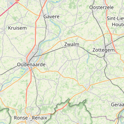
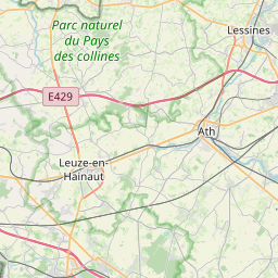
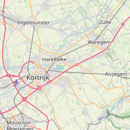
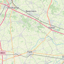
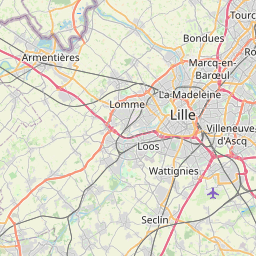
Avelgem, Arr. Kortrijk, Belgium
Related Distances from Avelgem
| Cities | Edite sus datos personales, tarjetas de crédito guardadas y preferencias de viaje |
|---|---|
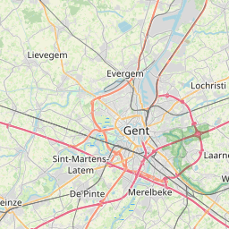
| Avelgem to Gent | 22.80 mi (36.69 km) |
| Avelgem to Bruges | 31.45 mi (50.61 km) |
| Avelgem to Forest | 38.54 mi (62.03 km) |
| Avelgem to Anderlecht | 39.03 mi (62.81 km) |
| Avelgem to Koekelberg | 39.32 mi (63.28 km) |
| Avelgem to Jette | 39.32 mi (63.28 km) |
| Avelgem to Moortebeek | 39.43 mi (63.45 km) |
| Avelgem to Brussels | 39.96 mi (64.31 km) |
| Avelgem to Laeken | 40.41 mi (65.04 km) |
| Avelgem to Etterbeek | 41.20 mi (66.31 km) |
| Avelgem to Sint-Joost-ten-Node | 41.32 mi (66.50 km) |
| Avelgem to Evere | 42.20 mi (67.91 km) |
| Avelgem to Vilvoorde | 44.04 mi (70.88 km) |
| Avelgem to Hoboken | 48.40 mi (77.89 km) |
| Avelgem to Mechelen | 48.41 mi (77.91 km) |
| Avelgem to Wilrijk | 49.00 mi (78.85 km) |
| Avelgem to Charleroi | 50.55 mi (81.35 km) |
| Avelgem to Berchem | 50.84 mi (81.81 km) |
| Avelgem to Antwerp | 51.61 mi (83.05 km) |
| Avelgem to Borgerhout | 52.79 mi (84.96 km) |
| Avelgem to Merksem | 54.06 mi (87.00 km) |
| Avelgem to Deurne | 54.08 mi (87.03 km) |
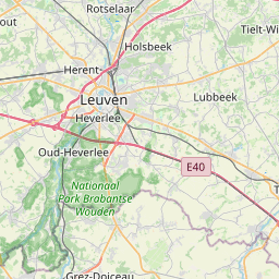
| Avelgem to Leuven | 55.31 mi (89.01 km) |
| Avelgem to Namur | 65.90 mi (106.06 km) |
| Avelgem to Liege | 93.51 mi (150.49 km) |
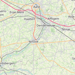
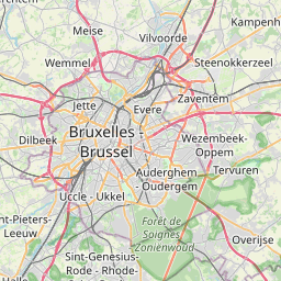
Sint-Joost-ten-Node, Arr. de Bruxelles-Capitale/Arr. Brussel-Hoofdstad, Belgium
 Inicia sesión con Google