


Distance Calculator


Distance from Besancon to Aix-en-Provence
The shortest distance (air line) between Besancon and Aix-en-Provence is 258.10mi (415.37 km)
The shortest route between Besancon and Aix-en-Provence is 341.89 mi (550.21 km) according to the route planner. The driving time is approx. 5 h 45 m
How far is it between Besancon and Aix-en-Provence.
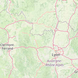
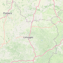
Besancon is located in Doubs, Francecountry within 47° 14' 24" N 6° 1' 12" E (47.2400, 6.0200) coordinates. The local time in Besancon is 19:33 (12.07.2025)
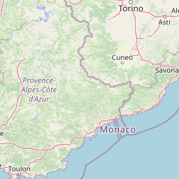
Aix-en-Provence is located in Bouches-du-Rhone, Francecountry within 43° 31' 34.68" N 5° 26' 43.44" E (43.5263, 5.4454) coordinates. The local time in Aix-en-Provence is 19:33 (12.07.2025)
The calculated flying distance from Besancon to Aix-en-Provence is 258.10miles which is equal to 415.37 km.
If you want to go by car, the driving driving distance between Besancon and Aix-en-Provence is 341.89 miles (550.21 km). If you ride your car with an average speef of 112 kilometers/hour (70 miles/h), travel time will be 4 hours 55 minutes.Please check the avg.speed travel time on the right for various options
Estimated Travel Time Between Besancon and Aix-en-Provence
| Average speed | Travel Time |
|---|---|
| 30 mph (48 km/h) | 11 hours 24 minutes |
| 40 mph (64 km/h) | 8 hours 33 minutes |
| 50 mph (80 km/h) | 6 hours 50 minutes |
| 60 mph (67 km/h) | 5 hours 42 minutes |
| 70 mph (112 km/h) | 4 hours 53 minutes |
| 75 mph (120 km/h) | 4 hours 34 minutes |
Related Distances from Besancon
| Cities | Edite sus datos personales, tarjetas de crédito guardadas y preferencias de viaje |
|---|---|
| Besancon to Dijon | 47.33 mi (76.17 km) |
| Besancon to Villeurbanne | 115.32 mi (185.59 km) |
| Besancon to Lyon | 116.64 mi (187.72 km) |
| Besancon to Strasbourg | 122.48 mi (197.11 km) |
| Besancon to Grenoble | 143.63 mi (231.14 km) |
| Besancon to Saint-Etienne | 146.97 mi (236.52 km) |
| Besancon to Reims | 166.95 mi (268.68 km) |
| Besancon to Clermont-Ferrand | 172.16 mi (277.06 km) |
| Besancon to Paris | 202.89 mi (326.52 km) |
| Besancon to Boulogne-Billancourt | 206.43 mi (332.22 km) |
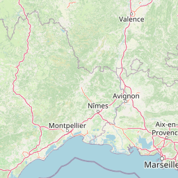
| Besancon to Nimes | 248.37 mi (399.72 km) |
| Besancon to Nice | 251.70 mi (405.07 km) |
| Besancon to Aix-en-Provence | 258.10 mi (415.37 km) |
| Besancon to Lille | 269.88 mi (434.33 km) |
| Besancon to Montpellier | 271.33 mi (436.67 km) |
| Besancon to Marseille | 274.30 mi (441.44 km) |
| Besancon to Le Mans | 276.17 mi (444.46 km) |
| Besancon to Toulon | 284.30 mi (457.53 km) |
| Besancon to Angers | 308.04 mi (495.75 km) |
| Besancon to Le Havre | 312.95 mi (503.64 km) |
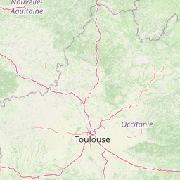
| Besancon to Toulouse | 335.05 mi (539.22 km) |
| Besancon to Nantes | 355.17 mi (571.60 km) |
| Besancon to Bordeaux | 357.18 mi (574.83 km) |
| Besancon to Rennes | 363.08 mi (584.33 km) |
| Besancon to Brest | 493.67 mi (794.48 km) |
Aix-en-Provence, Bouches-du-Rhone, France
 Inicia sesión con Google