


Distance Calculator
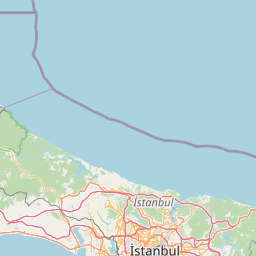

Distance from Esenler to Cankaya
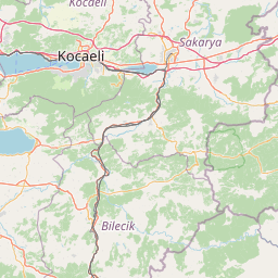
The shortest distance (air line) between Esenler and Cankaya is 223.50mi (359.69 km)
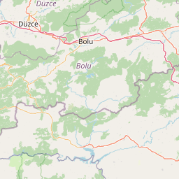
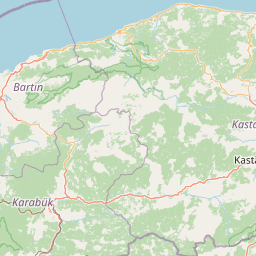
The shortest route between Esenler and Cankaya is 288.51 mi (464.30 km) according to the route planner. The driving time is approx. 4 h 53 m
How far is it between Esenler and Cankaya.
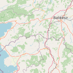
Esenler is located in Istanbul, Turkeycountry within 41° 2' 2.04" N 28° 53' 25.08" E (41.0339, 28.8903) coordinates. The local time in Esenler is 13:56 (19.05.2025)
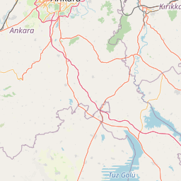
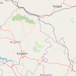
Cankaya is located in Ankara, Turkeycountry within 39° 55' 27.84" N 32° 53' 8.16" E (39.9244, 32.8856) coordinates. The local time in Cankaya is 13:56 (19.05.2025)
The calculated flying distance from Esenler to Cankaya is 223.50miles which is equal to 359.69 km.
If you want to go by car, the driving driving distance between Esenler and Cankaya is 288.51 miles (464.30 km). If you ride your car with an average speef of 112 kilometers/hour (70 miles/h), travel time will be 4 hours 9 minutes.Please check the avg.speed travel time on the right for various options
Estimated Travel Time Between Esenler and Cankaya
| Average speed | Travel Time |
|---|---|
| 30 mph (48 km/h) | 9 hours 37 minutes |
| 40 mph (64 km/h) | 7 hours 13 minutes |
| 50 mph (80 km/h) | 5 hours 46 minutes |
| 60 mph (67 km/h) | 4 hours 49 minutes |
| 70 mph (112 km/h) | 4 hours 7 minutes |
| 75 mph (120 km/h) | 3 hours 51 minutes |
Related Distances from Esenler
| Cities | Edite sus datos personales, tarjetas de crédito guardadas y preferencias de viaje |
|---|---|
| Esenler to Erzurum | 655.12 mi (1,054.31 km) |
| Esenler to Bagcilar | 1.77 mi (2.84 km) |
| Esenler to Istanbul | 3.65 mi (5.88 km) |
| Esenler to Kagithane | 4.76 mi (7.65 km) |
| Esenler to Kucukcekmece | 5.26 mi (8.46 km) |
| Esenler to Esenyurt | 12.14 mi (19.54 km) |
| Esenler to Kartal | 18.64 mi (29.99 km) |
| Esenler to Pendik | 21.08 mi (33.93 km) |
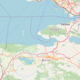
| Esenler to Bursa | 59.36 mi (95.54 km) |
| Esenler to Yildirim | 64.62 mi (104.00 km) |
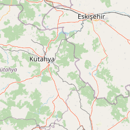
| Esenler to Eskisehir | 122.07 mi (196.46 km) |
| Esenler to Izmir | 203.13 mi (326.91 km) |
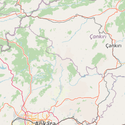
| Esenler to Ankara | 221.61 mi (356.64 km) |
| Esenler to Cankaya | 223.50 mi (359.69 km) |
| Esenler to Denizli | 225.98 mi (363.67 km) |
| Esenler to Selcuklu | 290.40 mi (467.35 km) |
| Esenler to Konya | 290.86 mi (468.10 km) |
| Esenler to Antalya | 302.65 mi (487.07 km) |
| Esenler to Kayseri | 384.39 mi (618.62 km) |
| Esenler to Samsun | 387.46 mi (623.56 km) |
| Esenler to Mersin | 425.13 mi (684.18 km) |
| Esenler to Adana | 443.48 mi (713.71 km) |
| Esenler to Seyhan | 444.72 mi (715.71 km) |
| Esenler to Gaziantep | 531.38 mi (855.18 km) |
| Esenler to Akcaabat | 555.30 mi (893.66 km) |
Related Distances to Cankaya
| Cities | Edite sus datos personales, tarjetas de crédito guardadas y preferencias de viaje |
|---|---|
| Ankara to Cankaya | 1.93 mi (3.10 km) |
| Eskisehir to Cankaya | 125.86 mi (202.55 km) |
| Selcuklu to Cankaya | 142.73 mi (229.71 km) |
| Konya to Cankaya | 143.81 mi (231.44 km) |
| Kayseri to Cankaya | 161.97 mi (260.66 km) |
| Yildirim to Cankaya | 201.66 mi (324.53 km) |
| Pendik to Cankaya | 202.98 mi (326.66 km) |
| Bursa to Cankaya | 203.62 mi (327.70 km) |
| Samsun to Cankaya | 203.98 mi (328.28 km) |
| Kartal to Cankaya | 205.48 mi (330.69 km) |
| Istanbul to Cankaya | 219.86 mi (353.83 km) |
| Kagithane to Cankaya | 220.63 mi (355.06 km) |
| Esenler to Cankaya | 223.50 mi (359.69 km) |
| Bagcilar to Cankaya | 225.19 mi (362.41 km) |
| Kucukcekmece to Cankaya | 227.24 mi (365.71 km) |
| Esenyurt to Cankaya | 235.28 mi (378.65 km) |
| Mersin to Cankaya | 235.71 mi (379.34 km) |
| Antalya to Cankaya | 240.68 mi (387.34 km) |
| Adana to Cankaya | 241.20 mi (388.18 km) |
| Seyhan to Cankaya | 242.53 mi (390.31 km) |
| Denizli to Cankaya | 253.12 mi (407.36 km) |
| Gaziantep to Cankaya | 313.20 mi (504.05 km) |
| Izmir to Cankaya | 324.77 mi (522.66 km) |
| Akcaabat to Cankaya | 358.23 mi (576.52 km) |
| Erzurum to Cankaya | 444.52 mi (715.38 km) |
 Inicia sesión con Google