


Distance Calculator

Distance from Libonik to Patos
The shortest distance (air line) between Libonik and Patos is 57.79mi (93.00 km)
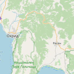
The shortest route between Libonik and Patos is 122.23 mi (196.71 km) according to the route planner. The driving time is approx. 3 h 54 m
How far is it between Libonik and Patos.
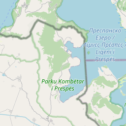
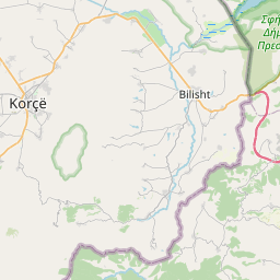
Libonik is located in Korce, Albaniacountry within 40° 45' 0" N 20° 43' 0.12" E (40.7500, 20.7167) coordinates. The local time in Libonik is 02:38 (08.08.2025)
Patos is located in Fier, Albaniacountry within 40° 40' 59.88" N 19° 37' 0.12" E (40.6833, 19.6167) coordinates. The local time in Patos is 02:38 (08.08.2025)
The calculated flying distance from Libonik to Patos is 57.79miles which is equal to 93.00 km.
If you want to go by car, the driving driving distance between Libonik and Patos is 122.23 miles (196.71 km). If you ride your car with an average speef of 112 kilometers/hour (70 miles/h), travel time will be 1 hours 45 minutes.Please check the avg.speed travel time on the right for various options
Estimated Travel Time Between Libonik and Patos
| Average speed | Travel Time |
|---|---|
| 30 mph (48 km/h) | 4 hours 4 minutes |
| 40 mph (64 km/h) | 3 hours 3 minutes |
| 50 mph (80 km/h) | 2 hours 27 minutes |
| 60 mph (67 km/h) | 2 hours 2 minutes |
| 70 mph (112 km/h) | 1 hours 45 minutes |
| 75 mph (120 km/h) | 1 hours 38 minutes |
Related Distances from Libonik
| Cities | Edite sus datos personales, tarjetas de crédito guardadas y preferencias de viaje |
|---|---|
| Libonik to Korce | 9.58 mi (15.41 km) |
| Libonik to Bucimas | 9.97 mi (16.05 km) |
| Libonik to Pogradec | 10.93 mi (17.60 km) |
| Libonik to Librazhd-Qender | 36.72 mi (59.10 km) |
| Libonik to Berat | 40.29 mi (64.85 km) |
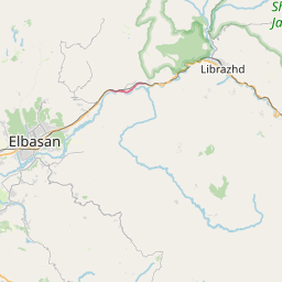
| Libonik to Elbasan | 41.53 mi (66.84 km) |
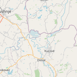
| Libonik to Kucove | 42.14 mi (67.82 km) |
| Libonik to Lushnje | 54.63 mi (87.92 km) |
| Libonik to Gjirokaster | 56.31 mi (90.62 km) |
| Libonik to Patos | 57.79 mi (93.00 km) |
| Libonik to Fier | 60.73 mi (97.73 km) |
| Libonik to Tirana | 61.60 mi (99.13 km) |
| Libonik to Kamez | 66.06 mi (106.31 km) |
| Libonik to Peshkopi | 66.21 mi (106.55 km) |
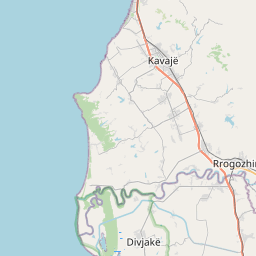
| Libonik to Kavaje | 67.30 mi (108.31 km) |
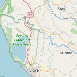
| Libonik to Vlore | 67.59 mi (108.78 km) |
| Libonik to Kruje | 70.44 mi (113.36 km) |
| Libonik to Sarande | 71.00 mi (114.27 km) |
| Libonik to Fushe-Kruje | 72.64 mi (116.90 km) |
| Libonik to Sukth | 75.60 mi (121.66 km) |
| Libonik to Durres | 77.05 mi (124.00 km) |
| Libonik to Lac | 80.40 mi (129.39 km) |
| Libonik to Lezhe | 90.47 mi (145.59 km) |
| Libonik to Kukes | 93.42 mi (150.35 km) |
| Libonik to Shkoder | 110.41 mi (177.69 km) |
Related Distances to Patos
| Cities | Edite sus datos personales, tarjetas de crédito guardadas y preferencias de viaje |
|---|---|
| Fier to Patos | 4.24 mi (6.83 km) |
| Vlore to Patos | 16.52 mi (26.59 km) |
| Berat to Patos | 17.50 mi (28.16 km) |
| Kucove to Patos | 17.67 mi (28.44 km) |
| Lushnje to Patos | 17.81 mi (28.67 km) |
| Kavaje to Patos | 34.73 mi (55.89 km) |
| Elbasan to Patos | 38.22 mi (61.51 km) |
| Durres to Patos | 44.35 mi (71.38 km) |
| Tirana to Patos | 45.82 mi (73.74 km) |
| Sukth to Patos | 48.56 mi (78.15 km) |
| Kamez to Patos | 48.99 mi (78.85 km) |
| Gjirokaster to Patos | 50.54 mi (81.34 km) |
| Librazhd-Qender to Patos | 51.64 mi (83.11 km) |
| Fushe-Kruje to Patos | 55.52 mi (89.35 km) |
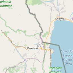
| Pogradec to Patos | 56.09 mi (90.26 km) |
| Kruje to Patos | 57.23 mi (92.10 km) |
| Bucimas to Patos | 57.49 mi (92.52 km) |
| Sarande to Patos | 59.57 mi (95.87 km) |
| Korce to Patos | 60.46 mi (97.30 km) |
| Lac to Patos | 65.97 mi (106.16 km) |
| Burrel to Patos | 67.12 mi (108.03 km) |
| Lezhe to Patos | 75.92 mi (122.18 km) |
| Peshkopi to Patos | 80.96 mi (130.29 km) |
| Shkoder to Patos | 95.83 mi (154.23 km) |
| Kukes to Patos | 105.24 mi (169.38 km) |
 Inicia sesión con Google