


Distance Calculator


Distance from Sankt Veit an der Glan to Klosterneuburg
The shortest distance (air line) between Sankt Veit an der Glan and Klosterneuburg is 140.04mi (225.37 km)
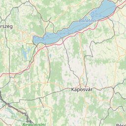
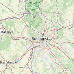
The shortest route between Sankt Veit an der Glan and Klosterneuburg is 185.72 mi (298.88 km) according to the route planner. The driving time is approx. 3 h 40 m
How far is it between Sankt Veit an der Glan and Klosterneuburg.
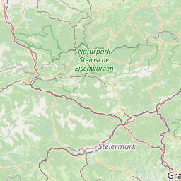
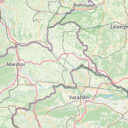
Sankt Veit an der Glan is located in Unterkarnten, Austriacountry within 46° 46' 0.12" N 14° 21' 37.08" E (46.7667, 14.3603) coordinates. The local time in Sankt Veit an der Glan is 10:24 (13.08.2025)
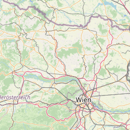
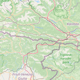
Klosterneuburg is located in Wiener Umland/Nordteil, Austriacountry within 48° 18' 15.12" N 16° 19' 0.12" E (48.3042, 16.3167) coordinates. The local time in Klosterneuburg is 10:24 (13.08.2025)
The calculated flying distance from Sankt Veit an der Glan to Klosterneuburg is 140.04miles which is equal to 225.37 km.
If you want to go by car, the driving driving distance between Sankt Veit an der Glan and Klosterneuburg is 185.72 miles (298.88 km). If you ride your car with an average speef of 112 kilometers/hour (70 miles/h), travel time will be 2 hours 40 minutes.Please check the avg.speed travel time on the right for various options
Estimated Travel Time Between Sankt Veit an der Glan and Klosterneuburg
| Average speed | Travel Time |
|---|---|
| 30 mph (48 km/h) | 6 hours 11 minutes |
| 40 mph (64 km/h) | 4 hours 39 minutes |
| 50 mph (80 km/h) | 3 hours 43 minutes |
| 60 mph (67 km/h) | 3 hours 6 minutes |
| 70 mph (112 km/h) | 2 hours 39 minutes |
| 75 mph (120 km/h) | 2 hours 29 minutes |
Sankt Veit an der Glan, Unterkarnten, Austria
Related Distances from Sankt Veit an der Glan
Klosterneuburg, Wiener Umland/Nordteil, Austria
 Inicia sesión con Google