


Distance Calculator


Distance from Librazhd to Sofia
The shortest distance (air line) between Librazhd and Sofia is 186.97mi (300.90 km)
The shortest route between Librazhd and Sofia is 295.19 mi (475.05 km) according to the route planner. The driving time is approx. 7 h 9 m
How far is it between Librazhd and Sofia.
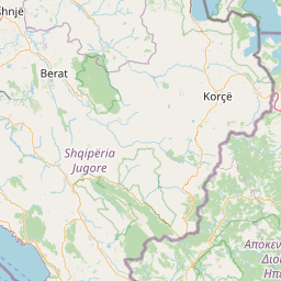
Librazhd is located in Elbasan, Albaniacountry within 41° 10' 59.88" N 20° 19' 0.12" E (41.1833, 20.3167) coordinates. The local time in Librazhd is 00:38 (23.05.2025)
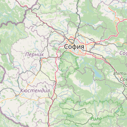
Sofia is located in Sofia (stolitsa), Bulgariacountry within 42° 42' 0" N 23° 19' 48" E (42.7000, 23.3300) coordinates. The local time in Sofia is 01:38 (23.05.2025)
The calculated flying distance from Librazhd to Sofia is 186.97miles which is equal to 300.90 km.
If you want to go by car, the driving driving distance between Librazhd and Sofia is 295.19 miles (475.05 km). If you ride your car with an average speef of 112 kilometers/hour (70 miles/h), travel time will be 4 hours 14 minutes.Please check the avg.speed travel time on the right for various options
Estimated Travel Time Between Librazhd and Sofia
| Average speed | Travel Time |
|---|---|
| 30 mph (48 km/h) | 9 hours 50 minutes |
| 40 mph (64 km/h) | 7 hours 23 minutes |
| 50 mph (80 km/h) | 5 hours 54 minutes |
| 60 mph (67 km/h) | 4 hours 55 minutes |
| 70 mph (112 km/h) | 4 hours 13 minutes |
| 75 mph (120 km/h) | 3 hours 56 minutes |
Related Distances from Librazhd
| Cities | Distance |
|---|---|
| Librazhd to Librazhd-Qender | 1.36 mi (2.19 km) |
| Librazhd to Elbasan | 13.26 mi (21.34 km) |
| Librazhd to Pogradec | 26.17 mi (42.12 km) |
| Librazhd to Bucimas | 27.67 mi (44.53 km) |
| Librazhd to Tirana | 27.80 mi (44.74 km) |
| Librazhd to Kamez | 31.72 mi (51.05 km) |
| Librazhd to Kucove | 33.58 mi (54.04 km) |
| Librazhd to Kruje | 34.60 mi (55.68 km) |
| Librazhd to Peshkopi | 35.03 mi (56.37 km) |
| Librazhd to Lushnje | 36.48 mi (58.71 km) |
| Librazhd to Fushe-Kruje | 37.40 mi (60.19 km) |
| Librazhd to Berat | 38.49 mi (61.94 km) |
| Librazhd to Kavaje | 39.25 mi (63.17 km) |
| Librazhd to Sukth | 42.96 mi (69.13 km) |
| Librazhd to Lac | 44.20 mi (71.13 km) |
| Librazhd to Korce | 45.66 mi (73.48 km) |
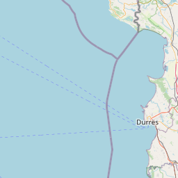
| Librazhd to Durres | 46.43 mi (74.73 km) |
| Librazhd to Patos | 50.28 mi (80.92 km) |
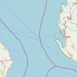
| Librazhd to Fier | 50.73 mi (81.64 km) |
| Librazhd to Lezhe | 54.05 mi (86.99 km) |
| Librazhd to Kukes | 62.40 mi (100.42 km) |
| Librazhd to Vlore | 65.95 mi (106.14 km) |
| Librazhd to Shkoder | 73.93 mi (118.97 km) |
| Librazhd to Gjirokaster | 77.75 mi (125.12 km) |
| Librazhd to Sarande | 91.82 mi (147.77 km) |
Sofia, Sofia (stolitsa), Bulgaria
Related Distances to Sofia
| Cities | Distance |
|---|---|
| Pernik to Sofia | 16.59 mi (26.69 km) |
| Vratsa to Sofia | 36.29 mi (58.41 km) |
| Kyustendil to Sofia | 43.75 mi (70.42 km) |
| Blagoevgrad to Sofia | 49.10 mi (79.02 km) |
| Montana to Sofia | 49.19 mi (79.16 km) |
| Pazardzhik to Sofia | 61.72 mi (99.33 km) |
| Lovech to Sofia | 76.35 mi (122.87 km) |
| Pleven to Sofia | 81.46 mi (131.09 km) |
| Plovdiv to Sofia | 81.79 mi (131.62 km) |
| Vidin to Sofia | 92.79 mi (149.33 km) |
| Gabrovo to Sofia | 102.23 mi (164.53 km) |
| Veliko Tarnovo to Sofia | 118.66 mi (190.97 km) |
| Stara Zagora to Sofia | 119.48 mi (192.29 km) |
| Haskovo to Sofia | 125.95 mi (202.70 km) |
| Kardzhali to Sofia | 127.03 mi (204.44 km) |
| Sliven to Sofia | 152.52 mi (245.45 km) |
| Ruse to Sofia | 153.13 mi (246.44 km) |
| Yambol to Sofia | 161.93 mi (260.60 km) |
| Targovishte to Sofia | 168.78 mi (271.63 km) |
| Razgrad to Sofia | 170.71 mi (274.73 km) |
| Shumen to Sofia | 186.50 mi (300.14 km) |
| Burgas to Sofia | 210.98 mi (339.54 km) |
| Silistra to Sofia | 220.22 mi (354.42 km) |
| Varna to Sofia | 234.63 mi (377.60 km) |
| Dobrich to Sofia | 234.79 mi (377.86 km) |
 Log in with Google