


Distance Calculator
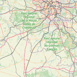


Distance from Vianden to Paris
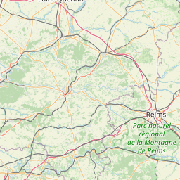
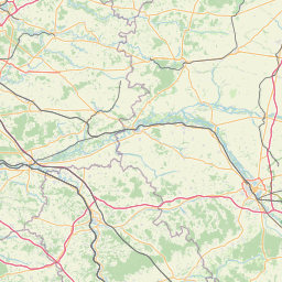
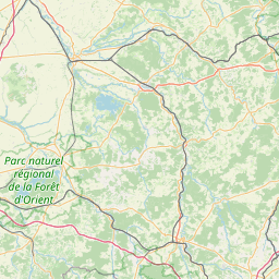
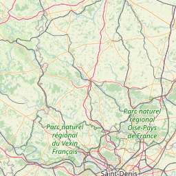
The shortest distance (air line) between Vianden and Paris is 188.63mi (303.57 km)
The shortest route between Vianden and Paris is 237.14 mi (381.64 km) according to the route planner. The driving time is approx. 4 h 35 m
How far is it between Vianden and Paris.
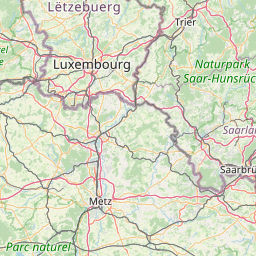
Vianden is located in Luxembourg, Luxembourgcountry within 49° 56' 0.96" N 6° 12' 27" E (49.9336, 6.2075) coordinates. The local time in Vianden is 03:26 (19.07.2025)
Paris is located in Paris, Francecountry within 48° 51' 24.12" N 2° 21' 7.92" E (48.8567, 2.3522) coordinates. The local time in Paris is 03:26 (19.07.2025)
The calculated flying distance from Vianden to Paris is 188.63miles which is equal to 303.57 km.
If you want to go by car, the driving driving distance between Vianden and Paris is 237.14 miles (381.64 km). If you ride your car with an average speef of 112 kilometers/hour (70 miles/h), travel time will be 3 hours 24 minutes.Please check the avg.speed travel time on the right for various options
Estimated Travel Time Between Vianden and Paris
| Average speed | Travel Time |
|---|---|
| 30 mph (48 km/h) | 7 hours 54 minutes |
| 40 mph (64 km/h) | 5 hours 56 minutes |
| 50 mph (80 km/h) | 4 hours 45 minutes |
| 60 mph (67 km/h) | 3 hours 57 minutes |
| 70 mph (112 km/h) | 3 hours 23 minutes |
| 75 mph (120 km/h) | 3 hours 10 minutes |
Vianden, Luxembourg, Luxembourg
Related Distances from Vianden
| Cities | Distance |
|---|---|
| Vianden to Diekirch | 5.06 mi (8.14 km) |
| Vianden to Clervaux | 11.16 mi (17.96 km) |
| Vianden to Wiltz | 12.40 mi (19.96 km) |
| Vianden to Echternach | 12.72 mi (20.48 km) |
| Vianden to Mersch | 13.56 mi (21.82 km) |
| Vianden to Redange-sur-Attert | 18.34 mi (29.51 km) |
| Vianden to Grevenmacher | 20.36 mi (32.77 km) |
| Vianden to Capellen | 22.22 mi (35.76 km) |
| Vianden to Luxembourg | 22.50 mi (36.20 km) |
| Vianden to Remich | 27.81 mi (44.76 km) |
| Vianden to Dudelange | 31.60 mi (50.86 km) |
| Vianden to Differdange | 31.73 mi (51.07 km) |
| Vianden to Esch-sur-Alzette | 31.83 mi (51.23 km) |
Related Distances to Paris
| Cities | Distance |
|---|---|
| Boulogne-Billancourt to Paris | 5.27 mi (8.49 km) |
| Reims to Paris | 81.18 mi (130.64 km) |
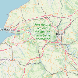
| Le Havre to Paris | 110.74 mi (178.22 km) |
| Le Mans to Paris | 114.84 mi (184.82 km) |
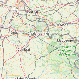
| Lille to Paris | 126.37 mi (203.37 km) |
| Tours to Paris | 126.89 mi (204.20 km) |
| Dijon to Paris | 162.60 mi (261.68 km) |
| Angers to Paris | 164.52 mi (264.76 km) |
| Rennes to Paris | 191.59 mi (308.33 km) |
| Nantes to Paris | 212.95 mi (342.71 km) |
| Clermont-Ferrand to Paris | 215.10 mi (346.17 km) |
| Lyon to Paris | 243.61 mi (392.06 km) |
| Villeurbanne to Paris | 244.11 mi (392.86 km) |
| Strasbourg to Paris | 246.53 mi (396.75 km) |
| Saint-Etienne to Paris | 255.07 mi (410.50 km) |
| Grenoble to Paris | 300.00 mi (482.80 km) |
| Bordeaux to Paris | 310.13 mi (499.11 km) |
| Brest to Paris | 314.04 mi (505.40 km) |
| Nimes to Paris | 359.72 mi (578.91 km) |
| Toulouse to Paris | 365.47 mi (588.17 km) |
| Montpellier to Paris | 369.62 mi (594.84 km) |
| Aix-en-Provence to Paris | 396.81 mi (638.61 km) |
| Marseille to Paris | 410.42 mi (660.50 km) |
| Nice to Paris | 426.22 mi (685.94 km) |
| Toulon to Paris | 431.50 mi (694.42 km) |
 Log in with Google