Distance Calculator

SH23, SH5

245.4 km, 4 h 26 min

Head southeast100 m
Turn right onto Ram Sadria450 m
Enter the traffic circle and take the 1st exit2.5 m
Exit the traffic circle3.5 km
Continue straight200 m
Turn left50 m
Go straight onto SH226 km
Make a slight right onto SH2350 km
Turn right to stay on SH2340 km
Turn right onto Rruga Kukësi i Ri100 m
Turn right onto Rruga Kukësi i Vjetër700 m
Turn left15 m
Turn right onto Rruga Tirana1 km
Turn right onto Ura e Vjetër e Drinit350 m
Merge left onto A18 km
Take the ramp towards SH5: Pukë300 m
Enter the traffic circle and take the 2nd exit towards A1: Kukës50 m
Exit the traffic circle towards A1: Kukës20 km
Turn left to stay on SH5900 m
Turn right onto SH54 km
Turn right onto SH535 km
Make a slight right onto SH55 km
Go straight onto SH54 km
Make a slight right onto SH58 km
Enter the traffic circle and take the 2nd exit towards SH5: Shkodër15 m
Exit the traffic circle towards SH5: Shkodër15 km
Turn right onto E 851 (SH5)20 km
Turn left to stay on SH53 km
Turn left onto SH52 km
Turn left onto SH51.5 km
Turn right onto SH515 km
Enter Sheshi Mark Lula and take the 2nd exit onto Rruga Besnik Ceka (SH5)30 m
Exit the traffic circle onto Rruga Besnik Ceka (SH5)500 m
Enter the traffic circle and take the 3rd exit onto Bulevardi Skënderbeu (SH5)25 m
Exit the traffic circle onto Bulevardi Skënderbeu (SH5)400 m
Continue straight onto Bulevardi Skënderbeu (SH5)450 m
Continue onto Rruga Teuta (SH5)150 m
Enter the traffic circle and exit onto Sheshi Demokracia100 m
You have arrived at your destination, on the left0 m

SH23, SH1

245.9 km, 4 h 26 min

Head southeast100 m
Turn right onto Ram Sadria450 m
Enter the traffic circle and take the 1st exit2.5 m
Exit the traffic circle3.5 km
Continue straight200 m
Turn left50 m
Go straight onto SH226 km
Make a slight right onto SH2350 km
Turn right to stay on SH2340 km
Turn right onto Rruga Kukësi i Ri100 m
Turn right onto Rruga Kukësi i Vjetër700 m
Turn left15 m
Turn right onto Rruga Tirana1 km
Turn right onto Ura e Vjetër e Drinit350 m
Merge left onto A190 km
Take the ramp towards Milot450 m
Turn right4 km
Turn left2 km
Turn right onto SH18 km
Enter the traffic circle and take the 1st exit towards SH1: Hani Hotit15 m
Exit the traffic circle towards SH1: Hani Hotit1 km
Enter the traffic circle and take the 3rd exit towards SH1: Hani Hotit25 m
Exit the traffic circle towards SH1: Hani Hotit35 km
Enter the traffic circle and take the 1st exit towards SH1: Podgoricë5 m
Exit the traffic circle towards SH1: Podgoricë400 m
Continue onto Rruga Pazarit (SH1)900 m
Enter the traffic circle and take the 1st exit onto Rruga Mbreti Gent (SH1)35 m
Exit the traffic circle onto Rruga Mbreti Gent (SH1)400 m
Enter the traffic circle and take the 1st exit onto Bulevardi Mehmet Pashë Plaku4.5 m
Exit the traffic circle onto Bulevardi Mehmet Pashë Plaku150 m
Enter the traffic circle and take the 3rd exit onto Bulevardi Mehmet Pashë Plaku30 m
Exit the traffic circle onto Bulevardi Mehmet Pashë Plaku800 m
Make a slight right onto Sheshi Perash80 m
Keep right at the fork35 m
Make a slight right onto Rruga Edith Durham450 m
Turn left onto Bulevardi Skënderbeu (SH5)450 m
Continue onto Rruga Teuta (SH5)150 m
Enter the traffic circle and exit onto Sheshi Demokracia100 m
You have arrived at your destination, on the left0 m
From
    To

      Distance: 35.13 mi (56.54 km)

      Driving route: 152.49 mi (245.40 km).

      Driving time: 4h 25 min

      Distance from Bajram Curri to Shkoder

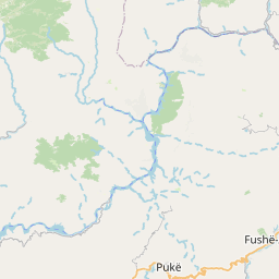
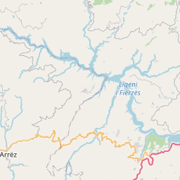
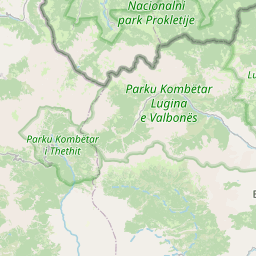
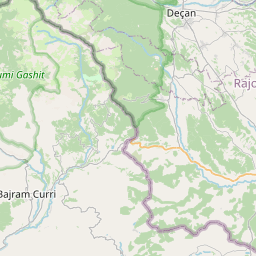
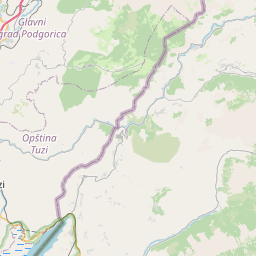
      The shortest distance (air line) between Bajram Curri and Shkoder is 35.13mi (56.54 km)

      The shortest route between Bajram Curri and Shkoder is 152.49 mi (245.40 km) according to the route planner. The driving time is approx. 4 h 25 m

      How far is it between Bajram Curri and Shkoder.

      Bajram Curri is located in Kukes, Albaniacountry within 42° 21' 29.16" N 20° 4' 32.88" E (42.3581, 20.0758) coordinates. The local time in Bajram Curri is 12:12 (23.07.2025)

      Shkoder is located in Shkoder, Albaniacountry within 42° 4' 5.16" N 19° 30' 42.84" E (42.0681, 19.5119) coordinates. The local time in Shkoder is 12:12 (23.07.2025)

      The calculated flying distance from Bajram Curri to Shkoder is 35.13miles which is equal to 56.54 km.

      If you want to go by car, the driving driving distance between Bajram Curri and Shkoder is 152.49 miles (245.40 km). If you ride your car with an average speef of 112 kilometers/hour (70 miles/h), travel time will be 2 hours 11 minutes.Please check the avg.speed travel time on the right for various options

      Estimated Travel Time Between Bajram Curri and Shkoder

      Average speedTravel Time
      30 mph (48 km/h)5 hours 5 minutes
      40 mph (64 km/h)3 hours 49 minutes
      50 mph (80 km/h)3 hours 3 minutes
      60 mph (67 km/h)2 hours 32 minutes
      70 mph (112 km/h)2 hours 11 minutes
      75 mph (120 km/h)2 hours 2 minutes

      Bajram Curri, Kukes, Albania

      Related Distances from Bajram Curri

      CitiesDistance
      Bajram Curri to Kukes25.78 mi (41.49 km)
      Bajram Curri to Shkoder35.13 mi (56.54 km)
      Bajram Curri to Lezhe45.55 mi (73.30 km)
      Bajram Curri to Peshkopi50.01 mi (80.48 km)
      Bajram Curri to Lac53.30 mi (85.78 km)
      Bajram Curri to Kruje60.96 mi (98.11 km)
      Bajram Curri to Fushe-Kruje63.20 mi (101.71 km)
      Bajram Curri to Kamez69.20 mi (111.37 km)
      Bajram Curri to Tirana72.34 mi (116.42 km)
      Bajram Curri to Sukth72.91 mi (117.33 km)
      Bajram Curri to Durres79.42 mi (127.81 km)
      Bajram Curri to Librazhd-Qender81.34 mi (130.90 km)
      Bajram Curri to Kavaje85.32 mi (137.31 km)
      Bajram Curri to Elbasan86.16 mi (138.66 km)
      Bajram Curri to Lushnje100.34 mi (161.48 km)
      Bajram Curri to Pogradec105.02 mi (169.01 km)
      Bajram Curri to Bucimas106.02 mi (170.63 km)
      Bajram Curri to Kucove107.71 mi (173.34 km)
      Bajram Curri to Berat114.75 mi (184.67 km)
      Bajram Curri to Fier115.98 mi (186.65 km)
      Bajram Curri to Patos118.13 mi (190.11 km)
      Bajram Curri to Korce125.52 mi (202.00 km)
      Bajram Curri to Vlore134.24 mi (216.04 km)
      Bajram Curri to Gjirokaster158.35 mi (254.84 km)
      Bajram Curri to Sarande171.60 mi (276.16 km)

      Shkoder, Shkoder, Albania

      Related Distances to Shkoder

      CitiesDistance
      Lezhe to Shkoder20.91 mi (33.66 km)
      Lac to Shkoder31.65 mi (50.93 km)
      Burrel to Shkoder40.86 mi (65.76 km)
      Fushe-Kruje to Shkoder41.76 mi (67.21 km)
      Kruje to Shkoder41.96 mi (67.54 km)
      Kukes to Shkoder46.41 mi (74.70 km)
      Sukth to Shkoder47.33 mi (76.17 km)
      Kamez to Shkoder49.11 mi (79.03 km)
      Durres to Shkoder52.44 mi (84.39 km)
      Tirana to Shkoder53.46 mi (86.03 km)
      Peshkopi to Shkoder54.12 mi (87.09 km)
      Kavaje to Shkoder61.13 mi (98.37 km)
      Elbasan to Shkoder72.36 mi (116.45 km)
      Librazhd-Qender to Shkoder73.71 mi (118.62 km)
      Lushnje to Shkoder79.01 mi (127.15 km)
      Kucove to Shkoder89.80 mi (144.52 km)
      Fier to Shkoder92.83 mi (149.39 km)
      Patos to Shkoder95.83 mi (154.23 km)
      Berat to Shkoder97.22 mi (156.45 km)
      Pogradec to Shkoder99.92 mi (160.80 km)
      Bucimas to Shkoder101.32 mi (163.06 km)
      Vlore to Shkoder110.66 mi (178.08 km)
      Korce to Shkoder119.55 mi (192.40 km)
      Gjirokaster to Shkoder142.02 mi (228.56 km)
      Sarande to Shkoder153.74 mi (247.42 km)