


Distance Calculator

Distance from Jelenia Gora to Czestochowa
The shortest distance (air line) between Jelenia Gora and Czestochowa is 147.70mi (237.70 km)
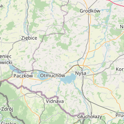
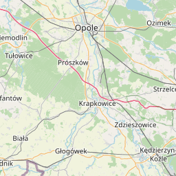
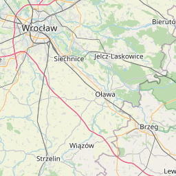
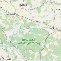
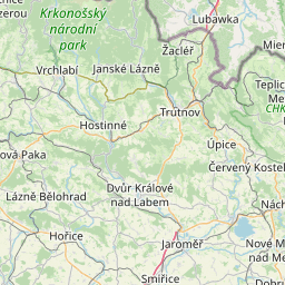
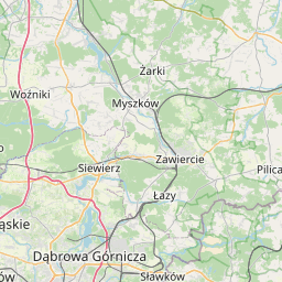
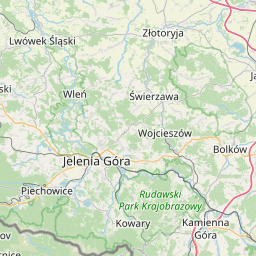
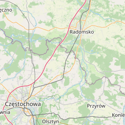
The shortest route between Jelenia Gora and Czestochowa is 211.86 mi (340.96 km) according to the route planner. The driving time is approx. 4 h 6 m
How far is it between Jelenia Gora and Czestochowa.
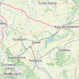
Jelenia Gora is located in Jeleniogorski, Polandcountry within 50° 54' 11.88" N 15° 44' 3.84" E (50.9033, 15.7344) coordinates. The local time in Jelenia Gora is 02:05 (25.06.2025)
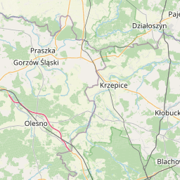
Czestochowa is located in Czestochowski, Polandcountry within 50° 47' 60" N 19° 7' 0.12" E (50.8000, 19.1167) coordinates. The local time in Czestochowa is 02:05 (25.06.2025)
The calculated flying distance from Jelenia Gora to Czestochowa is 147.70miles which is equal to 237.70 km.
If you want to go by car, the driving driving distance between Jelenia Gora and Czestochowa is 211.86 miles (340.96 km). If you ride your car with an average speef of 112 kilometers/hour (70 miles/h), travel time will be 3 hours 3 minutes.Please check the avg.speed travel time on the right for various options
Estimated Travel Time Between Jelenia Gora and Czestochowa
| Average speed | Travel Time |
|---|---|
| 30 mph (48 km/h) | 7 hours 4 minutes |
| 40 mph (64 km/h) | 5 hours 18 minutes |
| 50 mph (80 km/h) | 4 hours 14 minutes |
| 60 mph (67 km/h) | 3 hours 32 minutes |
| 70 mph (112 km/h) | 3 hours 2 minutes |
| 75 mph (120 km/h) | 2 hours 49 minutes |
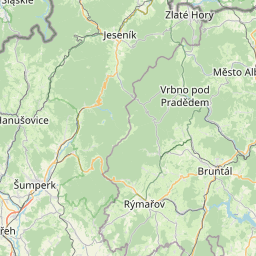
Jelenia Gora, Jeleniogorski, Poland
Related Distances from Jelenia Gora
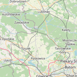
Czestochowa, Czestochowski, Poland
 Log in with Google