


Distance Calculator


Distance from Karditsa to Nea Smyrni
The shortest distance (air line) between Karditsa and Nea Smyrni is 137.88mi (221.90 km)
The shortest route between Karditsa and Nea Smyrni is 183.71 mi (295.66 km) according to the route planner. The driving time is approx. 3 h 36 m
How far is it between Karditsa and Nea Smyrni.
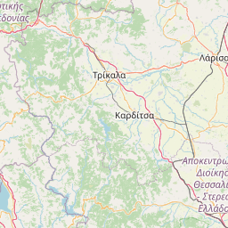
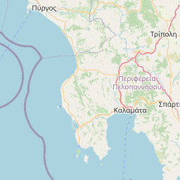
Karditsa is located in Karditsa; Trikala, Greececountry within 39° 22' 0.12" N 21° 55' 0.12" E (39.3667, 21.9167) coordinates. The local time in Karditsa is 18:48 (21.06.2025)
Nea Smyrni is located in Notios Tomeas Athinon, Greececountry within 37° 57' 0" N 23° 43' 0.12" E (37.9500, 23.7167) coordinates. The local time in Nea Smyrni is 18:48 (21.06.2025)
The calculated flying distance from Karditsa to Nea Smyrni is 137.88miles which is equal to 221.90 km.
If you want to go by car, the driving driving distance between Karditsa and Nea Smyrni is 183.71 miles (295.66 km). If you ride your car with an average speef of 112 kilometers/hour (70 miles/h), travel time will be 2 hours 38 minutes.Please check the avg.speed travel time on the right for various options
Estimated Travel Time Between Karditsa and Nea Smyrni
| Average speed | Travel Time |
|---|---|
| 30 mph (48 km/h) | 6 hours 7 minutes |
| 40 mph (64 km/h) | 4 hours 36 minutes |
| 50 mph (80 km/h) | 3 hours 40 minutes |
| 60 mph (67 km/h) | 3 hours 4 minutes |
| 70 mph (112 km/h) | 2 hours 37 minutes |
| 75 mph (120 km/h) | 2 hours 27 minutes |
Karditsa, Karditsa; Trikala, Greece
Related Distances from Karditsa
| Cities | Distance |
|---|---|
| Karditsa to Larisa | 32.73 mi (52.68 km) |
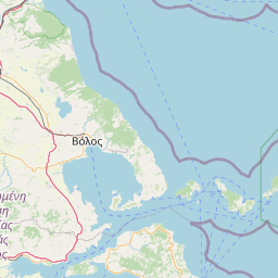
| Karditsa to Volos | 54.30 mi (87.39 km) |
| Karditsa to Ioannina | 60.33 mi (97.10 km) |
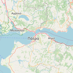
| Karditsa to Patra | 77.79 mi (125.18 km) |
| Karditsa to Kalamaria | 100.29 mi (161.41 km) |
| Karditsa to Thessaloniki | 103.18 mi (166.05 km) |
| Karditsa to Evosmos | 104.15 mi (167.62 km) |
| Karditsa to Acharnes | 132.10 mi (212.59 km) |
| Karditsa to Ilion | 133.17 mi (214.31 km) |
| Karditsa to Keratsini | 133.29 mi (214.51 km) |
| Karditsa to Peristeri | 133.32 mi (214.56 km) |
| Karditsa to Nikaia | 133.91 mi (215.50 km) |
| Karditsa to Aigaleo | 134.33 mi (216.19 km) |
| Karditsa to Nea Ionia | 135.12 mi (217.46 km) |
| Karditsa to Piraeus | 135.61 mi (218.24 km) |
| Karditsa to Marousi | 136.33 mi (219.40 km) |
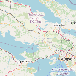
| Karditsa to Athens | 136.64 mi (219.90 km) |
| Karditsa to Kallithea | 137.25 mi (220.88 km) |
| Karditsa to Nea Smyrni | 137.88 mi (221.90 km) |
| Karditsa to Chalandri | 137.89 mi (221.91 km) |
| Karditsa to Zografos | 138.61 mi (223.08 km) |
| Karditsa to Agios Dimitrios | 139.34 mi (224.25 km) |
| Karditsa to Ilioupoli | 139.97 mi (225.27 km) |
| Karditsa to Glyfada | 143.30 mi (230.62 km) |
| Karditsa to Irakleio | 329.53 mi (530.32 km) |
Nea Smyrni, Notios Tomeas Athinon, Greece
 Log in with Google