


Distance Calculator


Distance from Kedainiai to Druskininkai
The shortest distance (air line) between Kedainiai and Druskininkai is 87.51mi (140.84 km)
The shortest route between Kedainiai and Druskininkai is 106.30 mi (171.08 km) according to the route planner. The driving time is approx. 2 h 31 m
How far is it between Kedainiai and Druskininkai.
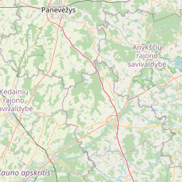
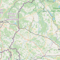
Kedainiai is located in Kauno apskritis, Lithuaniacountry within 55° 16' 59.88" N 23° 58' 0.12" E (55.2833, 23.9667) coordinates. The local time in Kedainiai is 18:29 (24.06.2025)
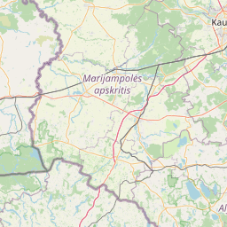
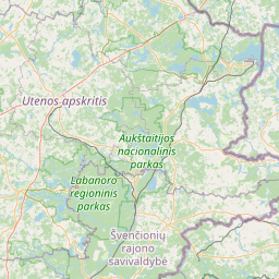
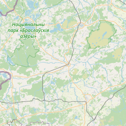
Druskininkai is located in Alytaus apskritis, Lithuaniacountry within 54° 1' 0.12" N 23° 58' 0.12" E (54.0167, 23.9667) coordinates. The local time in Druskininkai is 18:29 (24.06.2025)
The calculated flying distance from Kedainiai to Druskininkai is 87.51miles which is equal to 140.84 km.
If you want to go by car, the driving driving distance between Kedainiai and Druskininkai is 106.30 miles (171.08 km). If you ride your car with an average speef of 112 kilometers/hour (70 miles/h), travel time will be 1 hours 32 minutes.Please check the avg.speed travel time on the right for various options
Estimated Travel Time Between Kedainiai and Druskininkai
| Average speed | Travel Time |
|---|---|
| 30 mph (48 km/h) | 3 hours 33 minutes |
| 40 mph (64 km/h) | 2 hours 39 minutes |
| 50 mph (80 km/h) | 2 hours 8 minutes |
| 60 mph (67 km/h) | 1 hours 46 minutes |
| 70 mph (112 km/h) | 1 hours 31 minutes |
| 75 mph (120 km/h) | 1 hours 25 minutes |
Kedainiai, Kauno apskritis, Lithuania
Related Distances from Kedainiai
Druskininkai, Alytaus apskritis, Lithuania
 Log in with Google