


Distance Calculator
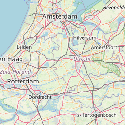


Distance from Leeuwarden to Hoofddorp
The shortest distance (air line) between Leeuwarden and Hoofddorp is 76.82mi (123.64 km)
The shortest route between Leeuwarden and Hoofddorp is 94.87 mi (152.68 km) according to the route planner. The driving time is approx. 1 h 58 m
How far is it between Leeuwarden and Hoofddorp.
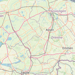
Leeuwarden is located in Noord-Friesland, Netherlandscountry within 53° 12' 0" N 5° 46' 59.88" E (53.2000, 5.7833) coordinates. The local time in Leeuwarden is 06:02 (11.07.2025)
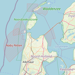
Hoofddorp is located in Groot-Amsterdam, Netherlandscountry within 52° 18' 21.96" N 4° 41' 26.52" E (52.3061, 4.6907) coordinates. The local time in Hoofddorp is 06:02 (11.07.2025)
The calculated flying distance from Leeuwarden to Hoofddorp is 76.82miles which is equal to 123.64 km.
If you want to go by car, the driving driving distance between Leeuwarden and Hoofddorp is 94.87 miles (152.68 km). If you ride your car with an average speef of 112 kilometers/hour (70 miles/h), travel time will be 1 hours 22 minutes.Please check the avg.speed travel time on the right for various options
Estimated Travel Time Between Leeuwarden and Hoofddorp
| Average speed | Travel Time |
|---|---|
| 30 mph (48 km/h) | 3 hours 10 minutes |
| 40 mph (64 km/h) | 2 hours 22 minutes |
| 50 mph (80 km/h) | 1 hours 54 minutes |
| 60 mph (67 km/h) | 1 hours 35 minutes |
| 70 mph (112 km/h) | 1 hours 21 minutes |
| 75 mph (120 km/h) | 1 hours 16 minutes |
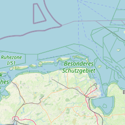
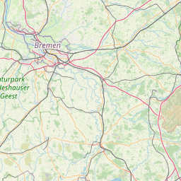
Leeuwarden, Noord-Friesland, Netherlands
Related Distances from Leeuwarden
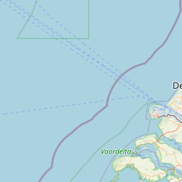
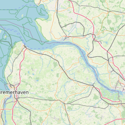
Hoofddorp, Groot-Amsterdam, Netherlands
 Log in with Google