


Distance Calculator


Distance from Nea Moudania to Peristeri
The shortest distance (air line) between Nea Moudania and Peristeri is 155.02mi (249.48 km)
The shortest route between Nea Moudania and Peristeri is 348.52 mi (560.88 km) according to the route planner. The driving time is approx. 6 h 41 m
How far is it between Nea Moudania and Peristeri.
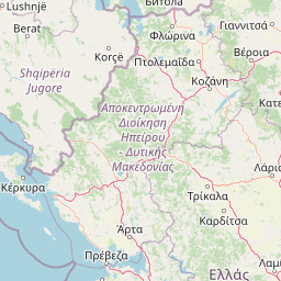
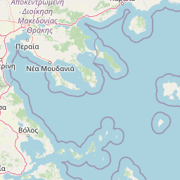
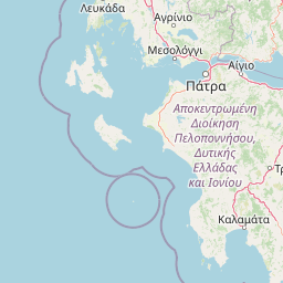
Nea Moudania is located in Chalkidiki, Greececountry within 40° 14' 18.96" N 23° 16' 53.04" E (40.2386, 23.2814) coordinates. The local time in Nea Moudania is 22:05 (07.07.2025)
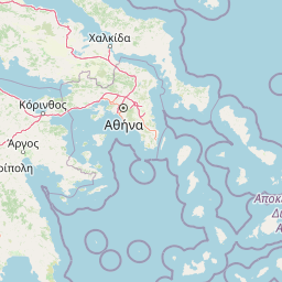
Peristeri is located in Dytikos Tomeas Athinon, Greececountry within 38° 1' 0.12" N 23° 40' 59.88" E (38.0167, 23.6833) coordinates. The local time in Peristeri is 22:05 (07.07.2025)
The calculated flying distance from Nea Moudania to Peristeri is 155.02miles which is equal to 249.48 km.
If you want to go by car, the driving driving distance between Nea Moudania and Peristeri is 348.52 miles (560.88 km). If you ride your car with an average speef of 112 kilometers/hour (70 miles/h), travel time will be 5 hours 0 minutes.Please check the avg.speed travel time on the right for various options
Estimated Travel Time Between Nea Moudania and Peristeri
| Average speed | Travel Time |
|---|---|
| 30 mph (48 km/h) | 11 hours 37 minutes |
| 40 mph (64 km/h) | 8 hours 43 minutes |
| 50 mph (80 km/h) | 6 hours 58 minutes |
| 60 mph (67 km/h) | 5 hours 49 minutes |
| 70 mph (112 km/h) | 4 hours 59 minutes |
| 75 mph (120 km/h) | 4 hours 39 minutes |
Nea Moudania, Chalkidiki, Greece
Related Distances from Nea Moudania
Peristeri, Dytikos Tomeas Athinon, Greece
 Log in with Google