


Distance Calculator

Distance from Nice to Grenoble
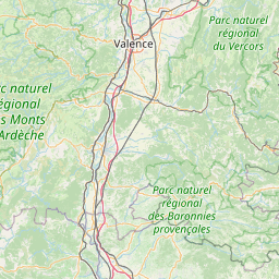
The shortest distance (air line) between Nice and Grenoble is 126.84mi (204.13 km)
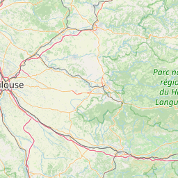
The shortest route between Nice and Grenoble is 289.54 mi (465.97 km) according to the route planner. The driving time is approx. 4 h 56 m
How far is it between Nice and Grenoble.
Nice is located in Alpes-Maritimes, Francecountry within 43° 42' 12.24" N 7° 15' 58.68" E (43.7034, 7.2663) coordinates. The local time in Nice is 12:07 (20.08.2025)
Grenoble is located in Isère, Francecountry within 45° 10' 17.4" N 5° 43' 20.64" E (45.1715, 5.7224) coordinates. The local time in Grenoble is 12:07 (20.08.2025)
The calculated flying distance from Nice to Grenoble is 126.84miles which is equal to 204.13 km.
If you want to go by car, the driving driving distance between Nice and Grenoble is 289.54 miles (465.97 km). If you ride your car with an average speef of 112 kilometers/hour (70 miles/h), travel time will be 4 hours 10 minutes.Please check the avg.speed travel time on the right for various options
Estimated Travel Time Between Nice and Grenoble
| Average speed | Travel Time |
|---|---|
| 30 mph (48 km/h) | 9 hours 39 minutes |
| 40 mph (64 km/h) | 7 hours 14 minutes |
| 50 mph (80 km/h) | 5 hours 47 minutes |
| 60 mph (67 km/h) | 4 hours 50 minutes |
| 70 mph (112 km/h) | 4 hours 8 minutes |
| 75 mph (120 km/h) | 3 hours 52 minutes |
Related Distances from Nice
| Cities | Distance |
|---|---|
| Nice to Brest | 649.14 mi (1,044.68 km) |
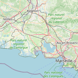
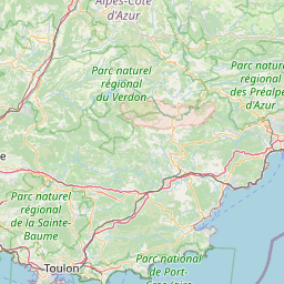
| Nice to Toulon | 78.02 mi (125.55 km) |
| Nice to Aix-en-Provence | 91.90 mi (147.90 km) |
| Nice to Marseille | 99.11 mi (159.50 km) |
| Nice to Grenoble | 126.84 mi (204.13 km) |
| Nice to Nimes | 145.25 mi (233.75 km) |
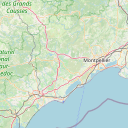
| Nice to Montpellier | 169.52 mi (272.81 km) |
| Nice to Villeurbanne | 184.48 mi (296.88 km) |
| Nice to Saint-Etienne | 185.31 mi (298.23 km) |
| Nice to Lyon | 185.39 mi (298.35 km) |
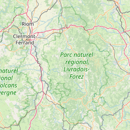
| Nice to Clermont-Ferrand | 250.56 mi (403.23 km) |
| Nice to Dijon | 272.35 mi (438.31 km) |
| Nice to Toulouse | 291.08 mi (468.45 km) |
| Nice to Strasbourg | 337.95 mi (543.87 km) |
| Nice to Bordeaux | 395.88 mi (637.10 km) |
| Nice to Tours | 407.54 mi (655.87 km) |
| Nice to Reims | 413.64 mi (665.69 km) |
| Nice to Paris | 426.22 mi (685.94 km) |
| Nice to Boulogne-Billancourt | 427.96 mi (688.73 km) |
| Nice to Le Mans | 451.47 mi (726.57 km) |
| Nice to Angers | 458.82 mi (738.40 km) |
| Nice to Nantes | 491.14 mi (790.41 km) |
| Nice to Lille | 517.44 mi (832.74 km) |
| Nice to Le Havre | 524.50 mi (844.10 km) |
| Nice to Rennes | 526.57 mi (847.43 km) |
Related Distances to Grenoble
| Cities | Distance |
|---|---|
| Villeurbanne to Grenoble | 57.93 mi (93.23 km) |
| Lyon to Grenoble | 59.01 mi (94.96 km) |
| Saint-Etienne to Grenoble | 67.24 mi (108.21 km) |
| Nimes to Grenoble | 113.97 mi (183.41 km) |
| Aix-en-Provence to Grenoble | 114.49 mi (184.26 km) |
| Nice to Grenoble | 126.84 mi (204.13 km) |
| Marseille to Grenoble | 130.73 mi (210.38 km) |
| Clermont-Ferrand to Grenoble | 134.69 mi (216.77 km) |
| Montpellier to Grenoble | 141.10 mi (227.08 km) |
| Toulon to Grenoble | 141.72 mi (228.08 km) |
| Dijon to Grenoble | 152.00 mi (244.63 km) |
| Toulouse to Grenoble | 237.33 mi (381.95 km) |
| Strasbourg to Grenoble | 254.34 mi (409.32 km) |
| Tours to Grenoble | 285.10 mi (458.83 km) |
| Reims to Grenoble | 293.55 mi (472.42 km) |
| Paris to Grenoble | 300.00 mi (482.80 km) |
| Boulogne-Billancourt to Grenoble | 301.57 mi (485.33 km) |
| Bordeaux to Grenoble | 308.65 mi (496.73 km) |
| Le Mans to Grenoble | 327.28 mi (526.70 km) |
| Angers to Grenoble | 338.96 mi (545.51 km) |
| Nantes to Grenoble | 375.40 mi (604.15 km) |
| Lille to Grenoble | 396.61 mi (638.28 km) |
| Le Havre to Grenoble | 397.71 mi (640.05 km) |
| Rennes to Grenoble | 405.49 mi (652.57 km) |
| Brest to Grenoble | 531.35 mi (855.12 km) |
 Log in with Google