


Distance Calculator


Distance from Remich to Mersch
The shortest distance (air line) between Remich and Mersch is 18.55mi (29.86 km)
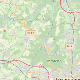
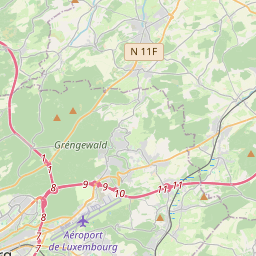
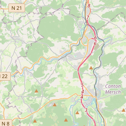
The shortest route between Remich and Mersch is 24.23 mi (39.00 km) according to the route planner. The driving time is approx. 0 h 34 m
How far is it between Remich and Mersch.
Remich is located in Luxembourg, Luxembourgcountry within 49° 32' 39.84" N 6° 22' 0.12" E (49.5444, 6.3667) coordinates. The local time in Remich is 14:36 (01.08.2025)
Mersch is located in Luxembourg, Luxembourgcountry within 49° 45' 0" N 6° 5' 60" E (49.7500, 6.1000) coordinates. The local time in Mersch is 14:36 (01.08.2025)
The calculated flying distance from Remich to Mersch is 18.55miles which is equal to 29.86 km.
If you want to go by car, the driving driving distance between Remich and Mersch is 24.23 miles (39.00 km). If you ride your car with an average speef of 112 kilometers/hour (70 miles/h), travel time will be 0 hours 21 minutes.Please check the avg.speed travel time on the right for various options
Estimated Travel Time Between Remich and Mersch
| Average speed | Travel Time |
|---|---|
| 30 mph (48 km/h) | 0 hours 48 minutes |
| 40 mph (64 km/h) | 0 hours 36 minutes |
| 50 mph (80 km/h) | 0 hours 29 minutes |
| 60 mph (67 km/h) | 0 hours 24 minutes |
| 70 mph (112 km/h) | 0 hours 21 minutes |
| 75 mph (120 km/h) | 0 hours 19 minutes |
Remich, Luxembourg, Luxembourg
Related Distances from Remich
| Cities | Distance |
|---|---|
| Remich to Grevenmacher | 9.99 mi (16.08 km) |
| Remich to Luxembourg | 11.50 mi (18.51 km) |
| Remich to Dudelange | 13.40 mi (21.56 km) |
| Remich to Esch-sur-Alzette | 17.63 mi (28.37 km) |
| Remich to Capellen | 18.24 mi (29.36 km) |
| Remich to Mersch | 18.55 mi (29.86 km) |
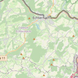
| Remich to Echternach | 18.63 mi (29.98 km) |
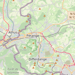
| Remich to Differdange | 21.36 mi (34.37 km) |
| Remich to Diekirch | 24.25 mi (39.03 km) |
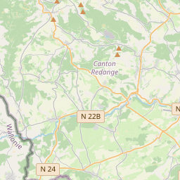
| Remich to Redange-sur-Attert | 26.24 mi (42.23 km) |
| Remich to Vianden | 27.81 mi (44.76 km) |
| Remich to Wiltz | 35.01 mi (56.34 km) |
| Remich to Clervaux | 37.97 mi (61.10 km) |
Mersch, Luxembourg, Luxembourg
Related Distances to Mersch
| Cities | Distance |
|---|---|
| Diekirch to Mersch | 8.54 mi (13.75 km) |
| Capellen to Mersch | 8.81 mi (14.17 km) |
| Redange-sur-Attert to Mersch | 9.46 mi (15.22 km) |
| Luxembourg to Mersch | 9.66 mi (15.55 km) |
| Vianden to Mersch | 13.56 mi (21.82 km) |
| Echternach to Mersch | 14.97 mi (24.10 km) |
| Grevenmacher to Mersch | 16.00 mi (25.75 km) |
| Wiltz to Mersch | 16.71 mi (26.90 km) |
| Esch-sur-Alzette to Mersch | 18.29 mi (29.43 km) |
| Differdange to Mersch | 18.29 mi (29.44 km) |
| Dudelange to Mersch | 18.44 mi (29.68 km) |
| Remich to Mersch | 18.55 mi (29.86 km) |
| Clervaux to Mersch | 20.94 mi (33.70 km) |
 Log in with Google