Distance Calculator

A3, D55

103.5 km, 1 h 28 min

Head northeast100 m
Turn right100 m
Turn left onto Ulica Eugena Kumičića800 m
Continue onto Ulica svetog Antuna800 m
Turn right onto Sjeverna vezna cesta (D53)2.5 km
Enter the traffic circle and take the 2nd exit onto Sjeverna vezna cesta (D514)35 m
Exit the traffic circle onto Sjeverna vezna cesta (D514)300 m
Continue onto Gospodarska ulica (D514)400 m
Enter the traffic circle and take the 2nd exit onto D51440 m
Exit the traffic circle onto D514150 m
Continue straight450 m
Make a slight right towards A3400 m
Merge left onto A350 km
Take the ramp towards D55: Vukovar2 km
Make a slight right towards D55500 m
Go straight onto D5520 km
Enter the traffic circle and take the 1st exit onto Istočna obilaznica (D55)4 m
Exit the traffic circle onto Istočna obilaznica (D55)2.5 km
Enter the traffic circle and take the 2nd exit onto Istočna obilaznica (D55)30 m
Exit the traffic circle onto Istočna obilaznica (D55)2.5 km
Enter the traffic circle and take the 2nd exit onto Istočna obilaznica (D55)30 m
Exit the traffic circle onto Istočna obilaznica (D55)3 km
Enter the traffic circle and take the 1st exit onto D5525 m
Exit the traffic circle onto D552 km
Turn right to stay on Ulica križnog puta (4137)4 km
Continue onto Ulica hrvatskog vojnika (4137)2.5 km
Enter the traffic circle and take the 2nd exit onto Ulica bana Josipa Jelačića (4137)20 m
Exit the traffic circle onto Ulica bana Josipa Jelačića (4137)5 km
Make a slight right onto Zagorska ulica (4137)60 m
Continue onto Duga ulica (4137)700 m
Continue slightly right onto Ulica Vatroslava Lisinskog (4137)350 m
You have arrived at your destination0 m

A3, D55

105.6 km, 1 h 30 min

Head northeast100 m
Turn right100 m
Turn left onto Ulica Eugena Kumičića800 m
Continue onto Ulica svetog Antuna800 m
Turn right onto Sjeverna vezna cesta (D53)2.5 km
Enter the traffic circle and take the 2nd exit onto Sjeverna vezna cesta (D514)35 m
Exit the traffic circle onto Sjeverna vezna cesta (D514)300 m
Continue onto Gospodarska ulica (D514)400 m
Enter the traffic circle and take the 2nd exit onto D51440 m
Exit the traffic circle onto D514150 m
Continue straight450 m
Make a slight right towards A3400 m
Merge left onto A350 km
Take the ramp towards D55: Vukovar2 km
Make a slight right towards D55500 m
Go straight onto D5520 km
Enter the traffic circle and take the 1st exit onto Istočna obilaznica (D55)4 m
Exit the traffic circle onto Istočna obilaznica (D55)2.5 km
Enter the traffic circle and take the 2nd exit onto Istočna obilaznica (D55)30 m
Exit the traffic circle onto Istočna obilaznica (D55)2.5 km
Enter the traffic circle and take the 2nd exit onto Istočna obilaznica (D55)30 m
Exit the traffic circle onto Istočna obilaznica (D55)3 km
Enter the traffic circle and take the 1st exit onto D5525 m
Exit the traffic circle onto D5510 km
Continue onto D552 km
Enter the traffic circle and take the 1st exit onto Kudeljarska ulica (D2)15 m
Exit the traffic circle onto Kudeljarska ulica (D2)300 m
Continue onto Priljevo (D2)300 m
Enter the traffic circle and take the 1st exit onto Priljevo (D2)35 m
Exit the traffic circle onto Priljevo (D2)2 km
Enter the traffic circle and take the 1st exit onto Ulica Ivana Gundulića (D2)30 m
Exit the traffic circle onto Ulica Ivana Gundulića (D2)550 m
Continue onto Ulica kardinala Alojzija Stepinca (D2)800 m
Continue onto Frankopanska ulica (D2)200 m
Continue onto Trg kralja Tomislava (D2)80 m
Turn right onto Ulica Europske unije600 m
Turn left onto Trg Matije Gupca (D57)9 m
You have arrived at your destination0 m
From
    To

      Distance: 49.49 mi (79.65 km)

      Driving route: 64.30 mi (103.48 km).

      Driving time: 1h 27 min

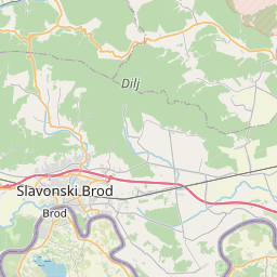
      Distance from Slavonski Brod to Vukovar

      The shortest distance (air line) between Slavonski Brod and Vukovar is 49.49mi (79.65 km)

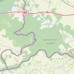
      The shortest route between Slavonski Brod and Vukovar is 64.30 mi (103.48 km) according to the route planner. The driving time is approx. 1 h 27 m

      How far is it between Slavonski Brod and Vukovar.

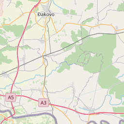
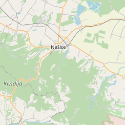
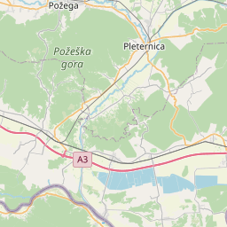
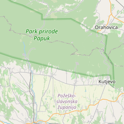
      Slavonski Brod is located in Brodsko-posavska županija, Croatiacountry within 45° 10' 0.12" N 18° 1' 0.12" E (45.1667, 18.0167) coordinates. The local time in Slavonski Brod is 18:04 (24.06.2025)

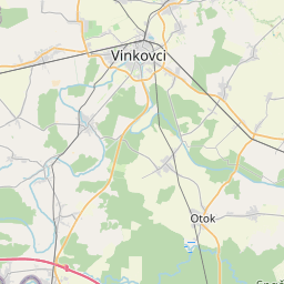
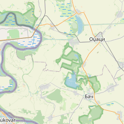
      Vukovar is located in Vukovarsko-srijemska županija, Croatiacountry within 45° 20' 39.84" N 19° 0' 9" E (45.3444, 19.0025) coordinates. The local time in Vukovar is 18:04 (24.06.2025)

      The calculated flying distance from Slavonski Brod to Vukovar is 49.49miles which is equal to 79.65 km.

      If you want to go by car, the driving driving distance between Slavonski Brod and Vukovar is 64.30 miles (103.48 km). If you ride your car with an average speef of 112 kilometers/hour (70 miles/h), travel time will be 0 hours 55 minutes.Please check the avg.speed travel time on the right for various options

      Estimated Travel Time Between Slavonski Brod and Vukovar

      Average speedTravel Time
      30 mph (48 km/h)2 hours 9 minutes
      40 mph (64 km/h)1 hours 36 minutes
      50 mph (80 km/h)1 hours 17 minutes
      60 mph (67 km/h)1 hours 4 minutes
      70 mph (112 km/h)0 hours 55 minutes
      75 mph (120 km/h)0 hours 51 minutes

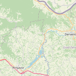
      Slavonski Brod, Brodsko-posavska županija, Croatia

      Related Distances from Slavonski Brod

      CitiesDistance
      Slavonski Brod to Pozega20.27 mi (32.62 km)
      Slavonski Brod to Nova Gradiska31.37 mi (50.48 km)
      Slavonski Brod to Zupanja33.98 mi (54.68 km)
      Slavonski Brod to Vinkovci39.13 mi (62.97 km)
      Slavonski Brod to Vukovar49.49 mi (79.65 km)
      Slavonski Brod to Bjelovar76.47 mi (123.06 km)
      Slavonski Brod to Sesvete102.94 mi (165.67 km)
      Slavonski Brod to Novi Marof106.68 mi (171.68 km)
      Slavonski Brod to Zagreb108.24 mi (174.20 km)
      Slavonski Brod to Varazdin113.02 mi (181.89 km)
      Slavonski Brod to Ivanec117.01 mi (188.31 km)
      Slavonski Brod to Sinj122.18 mi (196.62 km)
      Slavonski Brod to Krapina124.31 mi (200.06 km)
      Slavonski Brod to Solin135.70 mi (218.39 km)
      Slavonski Brod to Makarska137.86 mi (221.86 km)
      Slavonski Brod to Split138.46 mi (222.83 km)
      Slavonski Brod to Trogir143.53 mi (230.99 km)
      Slavonski Brod to Sibenik144.15 mi (231.99 km)
      Slavonski Brod to Zadar154.84 mi (249.18 km)
      Slavonski Brod to Rijeka174.27 mi (280.47 km)
      Slavonski Brod to Viskovo177.12 mi (285.05 km)
      Slavonski Brod to Pazin198.67 mi (319.73 km)
      Slavonski Brod to Pula204.72 mi (329.47 km)
      Slavonski Brod to Rovinj213.74 mi (343.98 km)
      Slavonski Brod to Umag219.44 mi (353.16 km)

      Vukovar, Vukovarsko-srijemska županija, Croatia

      Related Distances to Vukovar

      CitiesDistance
      Vinkovci to Vukovar10.46 mi (16.83 km)
      Zupanja to Vukovar24.01 mi (38.63 km)
      Slavonski Brod to Vukovar49.49 mi (79.65 km)
      Pozega to Vukovar64.54 mi (103.87 km)
      Nova Gradiska to Vukovar78.97 mi (127.08 km)
      Bjelovar to Vukovar111.63 mi (179.64 km)
      Novi Marof to Vukovar140.65 mi (226.36 km)
      Sesvete to Vukovar143.72 mi (231.30 km)
      Varazdin to Vukovar144.54 mi (232.61 km)
      Zagreb to Vukovar149.60 mi (240.75 km)
      Ivanec to Vukovar151.42 mi (243.69 km)
      Krapina to Vukovar161.18 mi (259.39 km)
      Sinj to Vukovar162.87 mi (262.11 km)
      Makarska to Vukovar171.53 mi (276.05 km)
      Solin to Vukovar176.03 mi (283.29 km)
      Split to Vukovar179.01 mi (288.09 km)
      Trogir to Vukovar185.37 mi (298.32 km)
      Sibenik to Vukovar189.32 mi (304.68 km)
      Zadar to Vukovar203.49 mi (327.48 km)
      Rijeka to Vukovar221.52 mi (356.50 km)
      Viskovo to Vukovar224.10 mi (360.65 km)
      Pazin to Vukovar246.29 mi (396.37 km)
      Pula to Vukovar253.55 mi (408.06 km)
      Rovinj to Vukovar261.91 mi (421.51 km)
      Umag to Vukovar266.21 mi (428.42 km)