


Distance Calculator
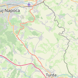
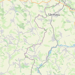

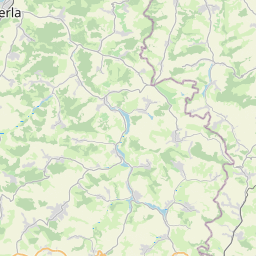
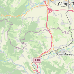

Distance from Targu-Mures to Cluj-Napoca
The shortest distance (air line) between Targu-Mures and Cluj-Napoca is 48.89mi (78.67 km)
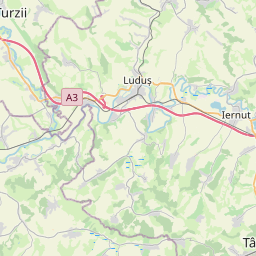
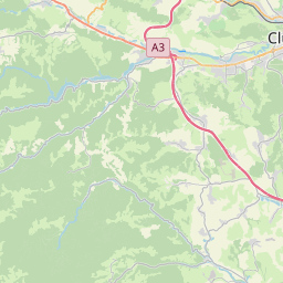
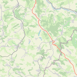
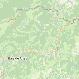
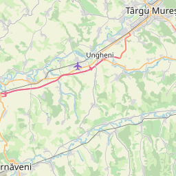
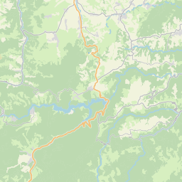
The shortest route between Targu-Mures and Cluj-Napoca is 66.92 mi (107.70 km) according to the route planner. The driving time is approx. 1 h 25 m
How far is it between Targu-Mures and Cluj-Napoca.
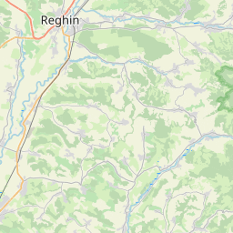
Targu-Mures is located in Mures, Romaniacountry within 46° 32' 44.16" N 24° 33' 45" E (46.5456, 24.5625) coordinates. The local time in Targu-Mures is 16:50 (03.09.2025)
Cluj-Napoca is located in Cluj, Romaniacountry within 46° 46' 0.12" N 23° 34' 59.88" E (46.7667, 23.5833) coordinates. The local time in Cluj-Napoca is 16:50 (03.09.2025)
The calculated flying distance from Targu-Mures to Cluj-Napoca is 48.89miles which is equal to 78.67 km.
If you want to go by car, the driving driving distance between Targu-Mures and Cluj-Napoca is 66.92 miles (107.70 km). If you ride your car with an average speef of 112 kilometers/hour (70 miles/h), travel time will be 0 hours 58 minutes.Please check the avg.speed travel time on the right for various options
Estimated Travel Time Between Targu-Mures and Cluj-Napoca
| Average speed | Travel Time |
|---|---|
| 30 mph (48 km/h) | 2 hours 14 minutes |
| 40 mph (64 km/h) | 1 hours 40 minutes |
| 50 mph (80 km/h) | 1 hours 20 minutes |
| 60 mph (67 km/h) | 1 hours 7 minutes |
| 70 mph (112 km/h) | 0 hours 57 minutes |
| 75 mph (120 km/h) | 0 hours 54 minutes |
 Log in with Google