


Distance Calculator


Distance from s-Hertogenbosch to Apeldoorn
The shortest distance (air line) between s-Hertogenbosch and Apeldoorn is 46.52mi (74.87 km)
The shortest route between s-Hertogenbosch and Apeldoorn is 60.42 mi (97.23 km) according to the route planner. The driving time is approx. 1 h 18 m
How far is it between s-Hertogenbosch and Apeldoorn.
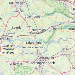
s-Hertogenbosch is located in Noordoost-Noord-Brabant, Netherlandscountry within 51° 40' 59.88" N 5° 17' 60" E (51.6833, 5.3000) coordinates. The local time in s-Hertogenbosch is 23:07 (12.06.2025)
Apeldoorn is located in Veluwe, Netherlandscountry within 52° 13' 0.12" N 5° 58' 0.12" E (52.2167, 5.9667) coordinates. The local time in Apeldoorn is 23:07 (12.06.2025)
The calculated flying distance from s-Hertogenbosch to Apeldoorn is 46.52miles which is equal to 74.87 km.
If you want to go by car, the driving driving distance between s-Hertogenbosch and Apeldoorn is 60.42 miles (97.23 km). If you ride your car with an average speef of 112 kilometers/hour (70 miles/h), travel time will be 0 hours 52 minutes.Please check the avg.speed travel time on the right for various options
Estimated Travel Time Between s-Hertogenbosch and Apeldoorn
| Average speed | Travel Time |
|---|---|
| 30 mph (48 km/h) | 2 hours 1 minutes |
| 40 mph (64 km/h) | 1 hours 31 minutes |
| 50 mph (80 km/h) | 1 hours 13 minutes |
| 60 mph (67 km/h) | 1 hours 0 minutes |
| 70 mph (112 km/h) | 0 hours 52 minutes |
| 75 mph (120 km/h) | 0 hours 48 minutes |
s-Hertogenbosch, Noordoost-Noord-Brabant, Netherlands
Related Distances from s-Hertogenbosch
Apeldoorn, Veluwe, Netherlands
 Log in with Google