


Distance Calculator


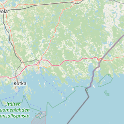


Distance from Tampere to Kotka
The shortest distance (air line) between Tampere and Kotka is 128.24mi (206.37 km)
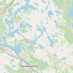
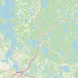
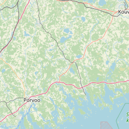
The shortest route between Tampere and Kotka is 169.95 mi (273.51 km) according to the route planner. The driving time is approx. 3 h 20 m
How far is it between Tampere and Kotka.
Tampere is located in Pirkanmaa, Finlandcountry within 61° 29' 53.16" N 23° 45' 36" E (61.4981, 23.7600) coordinates. The local time in Tampere is 17:56 (20.06.2025)
Kotka is located in Kymenlaakso, Finlandcountry within 60° 28' 0.12" N 26° 56' 30.12" E (60.4667, 26.9417) coordinates. The local time in Kotka is 17:56 (20.06.2025)
The calculated flying distance from Tampere to Kotka is 128.24miles which is equal to 206.37 km.
If you want to go by car, the driving driving distance between Tampere and Kotka is 169.95 miles (273.51 km). If you ride your car with an average speef of 112 kilometers/hour (70 miles/h), travel time will be 2 hours 27 minutes.Please check the avg.speed travel time on the right for various options
Estimated Travel Time Between Tampere and Kotka
| Average speed | Travel Time |
|---|---|
| 30 mph (48 km/h) | 5 hours 40 minutes |
| 40 mph (64 km/h) | 4 hours 15 minutes |
| 50 mph (80 km/h) | 3 hours 24 minutes |
| 60 mph (67 km/h) | 2 hours 50 minutes |
| 70 mph (112 km/h) | 2 hours 26 minutes |
| 75 mph (120 km/h) | 2 hours 16 minutes |
Related Distances from Tampere
| Cities | Distance |
|---|---|
| Tampere to Hameenlinna | 41.99 mi (67.57 km) |
| Tampere to Pori | 64.64 mi (104.03 km) |
| Tampere to Lahti | 72.19 mi (116.19 km) |
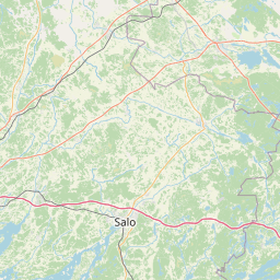
| Tampere to Salo | 79.73 mi (128.31 km) |
| Tampere to Jyvaskyla | 82.50 mi (132.77 km) |
| Tampere to Lohja | 86.85 mi (139.77 km) |
| Tampere to Turku | 88.03 mi (141.67 km) |
| Tampere to Hakkila | 92.78 mi (149.32 km) |
| Tampere to Vantaa | 93.63 mi (150.69 km) |
| Tampere to Seinajoki | 94.16 mi (151.54 km) |
| Tampere to Espoo | 94.25 mi (151.68 km) |
| Tampere to Porvoo | 99.47 mi (160.09 km) |
| Tampere to Helsinki | 99.91 mi (160.79 km) |
| Tampere to Kouvola | 107.27 mi (172.63 km) |
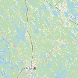
| Tampere to Mikkeli | 115.97 mi (186.63 km) |
| Tampere to Kotka | 128.24 mi (206.37 km) |
| Tampere to Vaasa | 130.33 mi (209.74 km) |
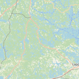
| Tampere to Lappeenranta | 149.81 mi (241.10 km) |
| Tampere to Kuopio | 158.79 mi (255.55 km) |
| Tampere to Mariehamn | 161.11 mi (259.29 km) |
| Tampere to Kokkola | 162.80 mi (262.00 km) |
| Tampere to Joensuu | 208.30 mi (335.22 km) |
| Tampere to Kajaani | 226.24 mi (364.10 km) |
| Tampere to Oulu | 248.68 mi (400.21 km) |
| Tampere to Rovaniemi | 350.68 mi (564.37 km) |
Related Distances to Kotka
| Cities | Distance |
|---|---|
| Kouvola to Kotka | 28.88 mi (46.47 km) |
| Porvoo to Kotka | 43.85 mi (70.57 km) |
| Lahti to Kotka | 56.38 mi (90.73 km) |
| Lappeenranta to Kotka | 58.94 mi (94.85 km) |
| Vantaa to Kotka | 66.01 mi (106.23 km) |
| Hakkila to Kotka | 69.07 mi (111.16 km) |
| Helsinki to Kotka | 71.55 mi (115.15 km) |
| Espoo to Kotka | 80.22 mi (129.11 km) |
| Mikkeli to Kotka | 84.76 mi (136.40 km) |
| Hameenlinna to Kotka | 91.20 mi (146.78 km) |
| Lohja to Kotka | 99.37 mi (159.92 km) |
| Tampere to Kotka | 128.24 mi (206.37 km) |
| Jyvaskyla to Kotka | 128.92 mi (207.47 km) |
| Salo to Kotka | 130.25 mi (209.62 km) |
| Turku to Kotka | 159.23 mi (256.26 km) |
| Kuopio to Kotka | 169.33 mi (272.52 km) |
| Joensuu to Kotka | 173.97 mi (279.98 km) |
| Pori to Kotka | 186.07 mi (299.44 km) |
| Seinajoki to Kotka | 209.50 mi (337.16 km) |
| Mariehamn to Kotka | 241.26 mi (388.27 km) |
| Vaasa to Kotka | 251.57 mi (404.86 km) |
| Kajaani to Kotka | 261.28 mi (420.49 km) |
| Kokkola to Kotka | 263.19 mi (423.57 km) |
| Oulu to Kotka | 317.60 mi (511.13 km) |
| Rovaniemi to Kotka | 418.50 mi (673.52 km) |
 Log in with Google